Death Valley on a tank of gas

pmatusov

Technical Excellence Contributor
Callsign: AK6PM
You folks should be familiar with this particular drunken state when we start making travel plans.
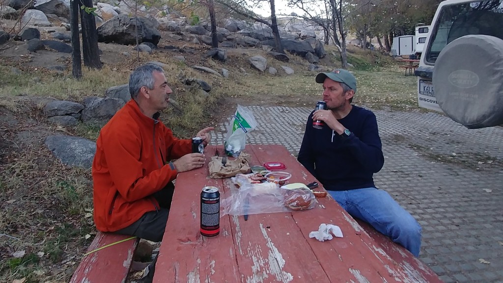
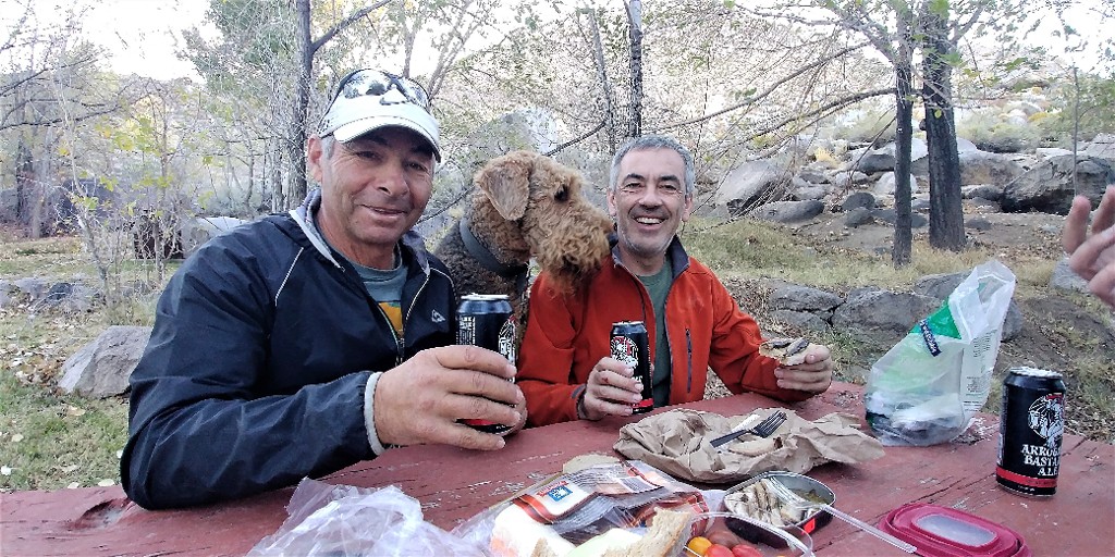
Last time we've achieved this state rather quickly, right after we completed the Rubicon trail. We were too tired to even contemplate going out for dinner, so we gravitated to the patio of a motel in Lee Vining, with beer and bourbon and whatnot, and fell into this groove in about an hour and a half. The only bright idea we could come up with was to repeat a weekend trip to Death Valley.
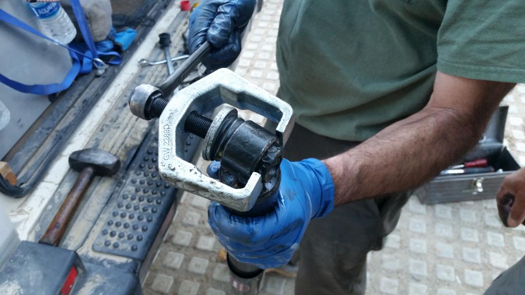
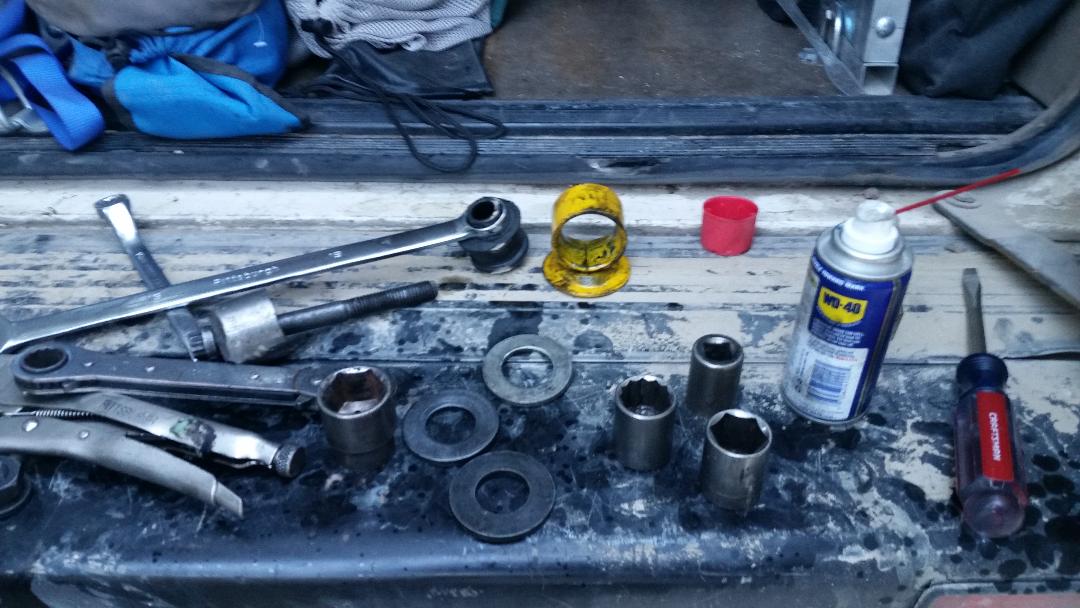
It should be said that my poor old gal of a Land Rover was not quite ready for new adventures after the 'Con. At least a couple of full weekends was put in towards rectification of things small and large, but eventually the road fever overcame the more-traditional weekend entertainment (like extra work).
Text messaging lit up.
- Let's go to Death Valley.
- When?
- In a couple of weeks.
- Ten-four. Any particular route?
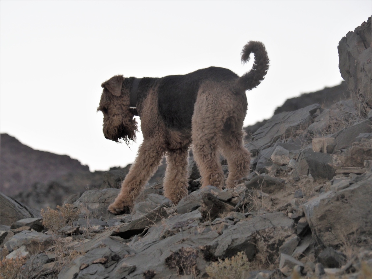
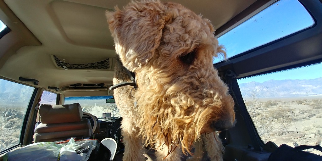
And so on. At a certain point I remember that I probably should let my folks know that I might not be home for a couple of nights. And out of reach by cell phone. Yes, I will take the dog with me. Yes, we plan on sleeping in a tent. No, it won't be too cold. It won't be too hot, either. Spare parts and tools are still in the truck since Rubicon, no need to pack anything else.
Kind of like that.
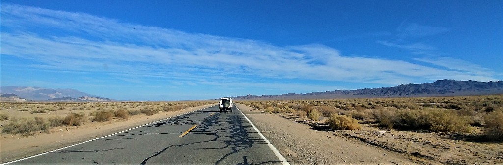
I take the lack of promises to return to an empty house as a permission, and ponder the trip plan. Here's the disposition: we have three days total - taking off early Friday morning, have to be home by Sunday night come hell or high water. All there's to drive - about a thousand miles, out of which about 220 are off pavement (to be more precise, a grueling Death Valley washboard and rocks). This particular 220-mile stretch requires about 20 hours to drive, give or take, some of it requires low range, with altitudes ranging from about sea level to about 10 thousand feet above. Both vehicles are V8-powered Land Rovers with automatic transmissions, and there is not a single gas station on this route.
The last consideration bothers me a bit. Even after some effort to rein in gas consumption, I am not sure if that truck can idle for 20 hours on a tankful of gas, let alone to move under its own power. I own many five-gallon jerry cans, but a Discovery is not a very large vehicle, when two adults and a large dog are concerned.
We'll figure something out.
In addition to that, one of my good friends plans to cover the same route on his KTM bike, North to South - meaning I chose the South to North direction to make sure we meet. The fact that we plan on meeting in a desert spanning a little more than three thousand square miles doesn't bother me a bit. As long as we avoid paved roads, we'll meet.
Finally, I kiss my wife goodbye and hit the road.

20171103_093756.jpg


A little rant about Death Valley.
This is a comment to Death Valley-related trip report on one of the Internet bulletin boards, loosely translated from Russian:
Oh folks, a location that has air-conditioned toilets can hardly be called Death Valley.
Of course, Death Valley is no Atacama. Yet there are things to consider when one leaves pavement.

- 13 years ago on North Death Valley Road, in my Range Rover Classic the left rear brake dust shield worked itself loose, crumpled and jammed itself between one of the axle brackets and brake caliper. Fortunately, it didn't damage any of the brake lines. For this to happen, two 8-mm nylock nuts had to work themselves down about 10mm of thread - it only took 20 miles of washboard. Oh yes, and within two hours of this event we were under heavy snowfall at about 6000 feet above sea level. All on the same road.

- 11 years ago, on the same North Death Valley Road, we've watched a Chevy pickup depart Eureka Dunes area, with a couple and two dogs, and I caught myself thinking (a) this was likely the last vehicle on the road for at least the night, and (b) we only had about half a gallon of drinkable fluids for three of us, and two-thirds of that was wine. I filed away this thought and drove on. In about six miles we met the couple in the Chevy again: their auxilliary engine oil cooler hose worked itself lose, they missed the oil pressure warning light, and the engine seized. We ended up rope-towing them to the ranger shack about 25 miles away; fortunately there was a park ranger in it. At the time, there was no cell phone service pretty much anywhere in the Valley. Next morning, as if on purpose to reinforce the lesson, my Land Rover's lower radiator hose sprang a leak.

- 9 years ago we worked at the Southern half of China Lake Weapons Range, one mountain range away from Death Valley, and about an hour and a half drive from Ridgecrest. We decided to leave the engine running while we did our work at the site, to keep the cabin cool. Returned to Inyokern, and went for lunch. After lunch the engine wouldn't start - the battery showed about 5 volts across its terminals. Apparently, all these miles on the washboard shook the active layer off the battery's plates - the battery was completely dead and unchargeable.

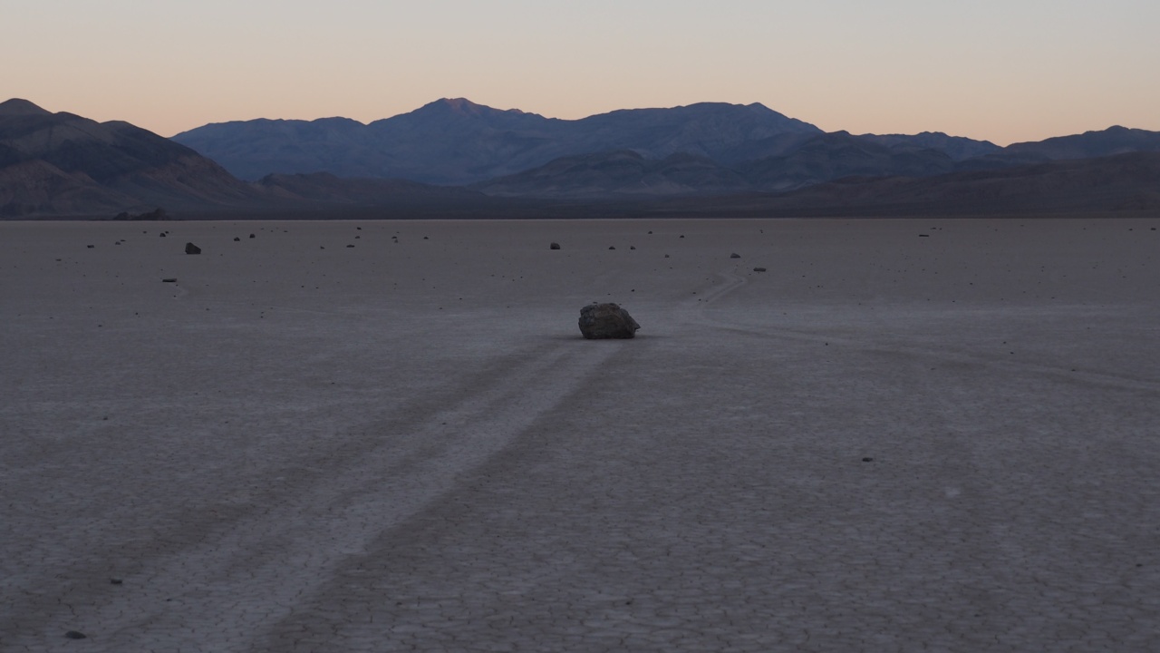
- This time we met a sad owner of a diesel Ford Excursion with two very dead batteries at the Racetrack Playa - without cell phone service, about 20 miles from pavement and at least 100 miles from the nearest service station. The owner and his young son were on the fence of whether to spend a cold night inside the truck or hit a button of a satellite beacon so they could summon some very expensive help.

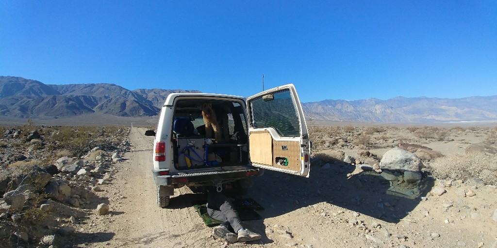
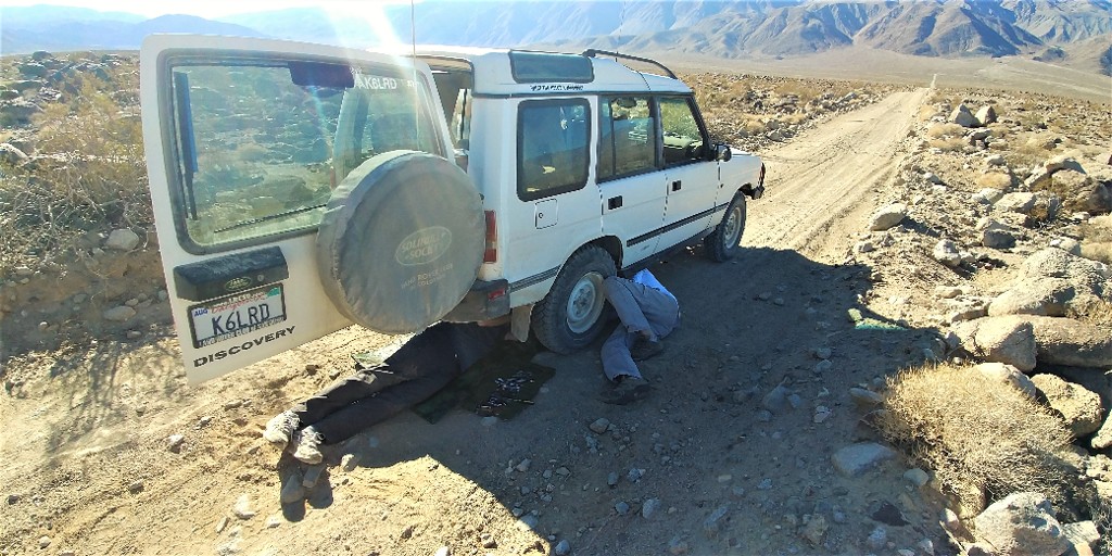
In this respect, we are lucky by only having one broken OME shock absorber (five months old, on a suspension with tall bumpstops and retained spring - so it has never been stretched or bottomed out). Whatever's good for Australian outback may not be good enough for Death Valley.

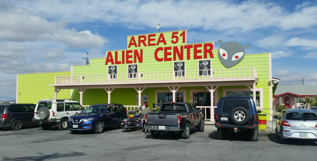
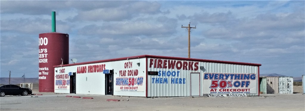
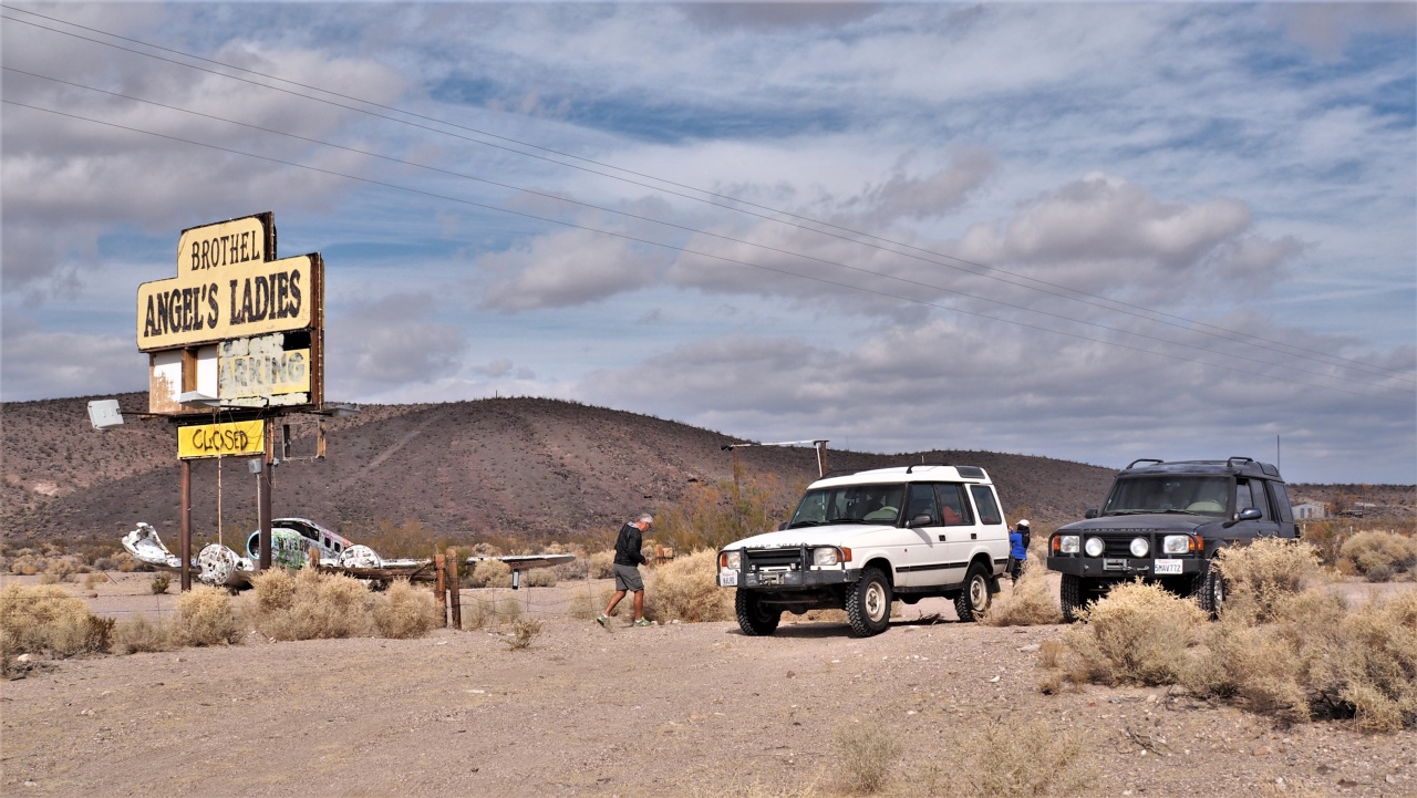
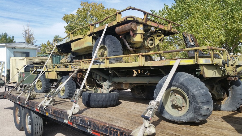
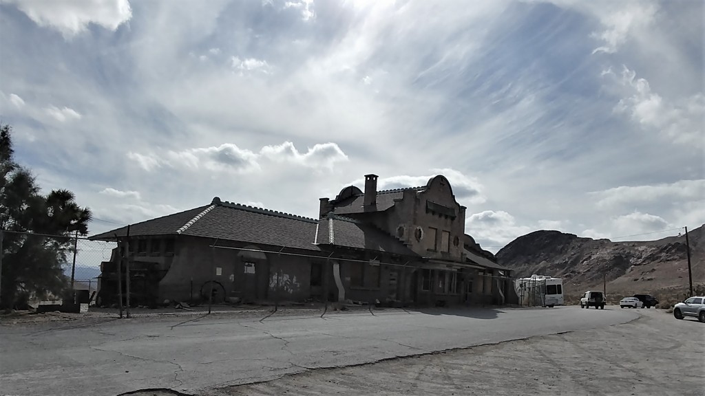
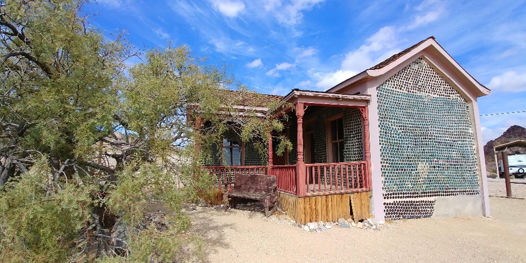
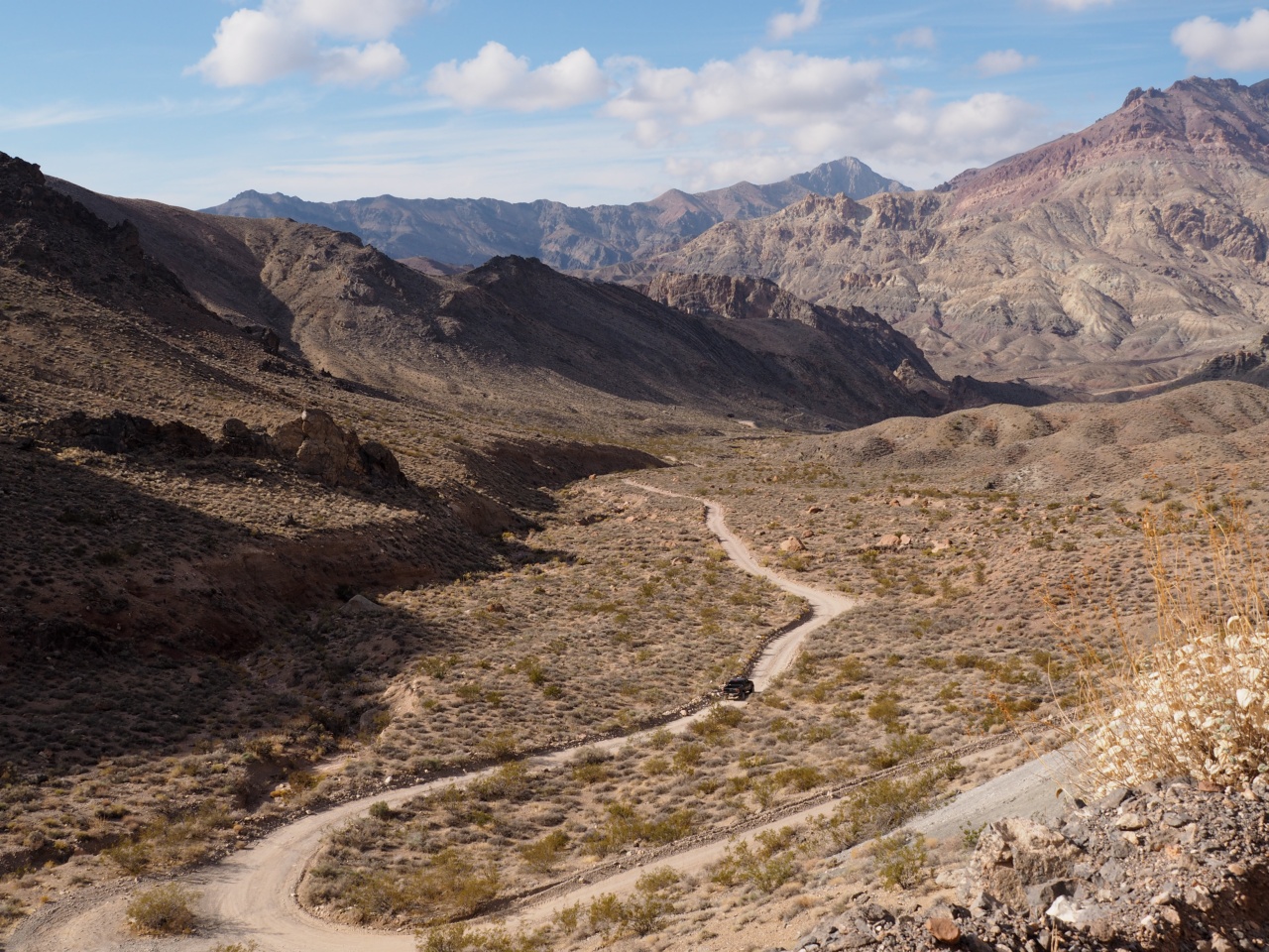
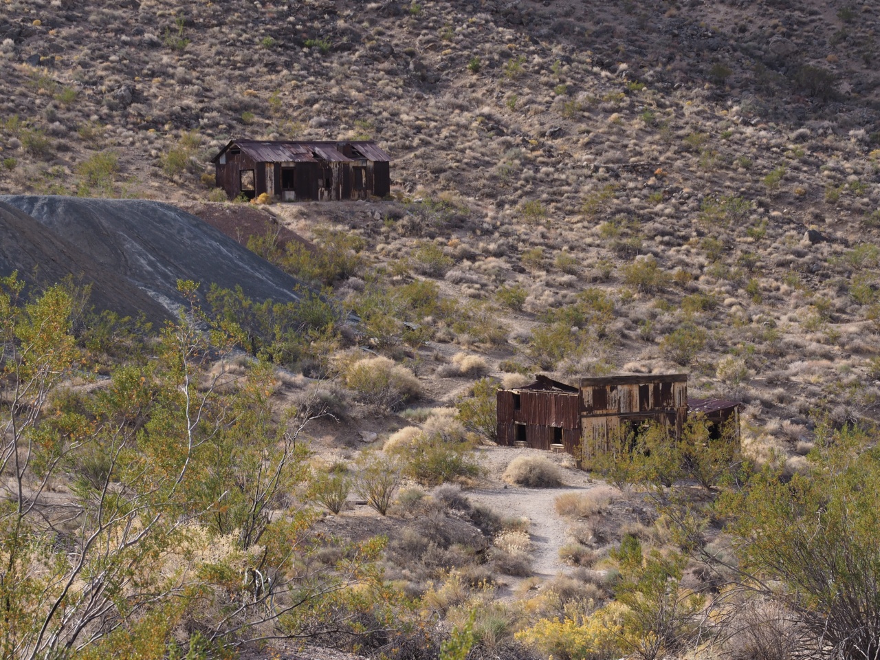
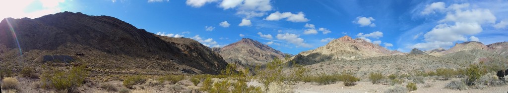
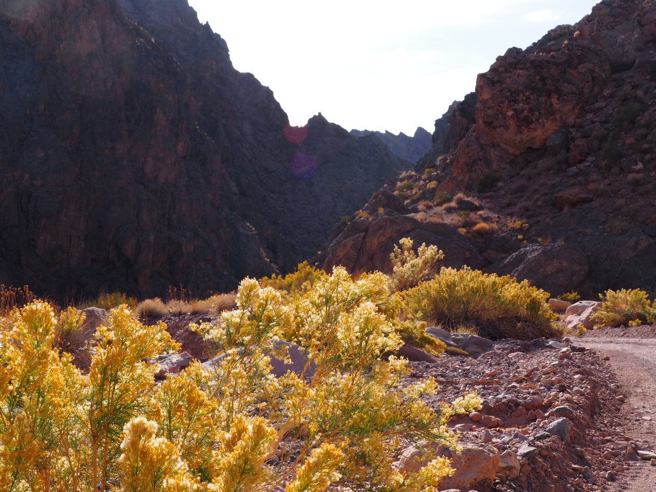
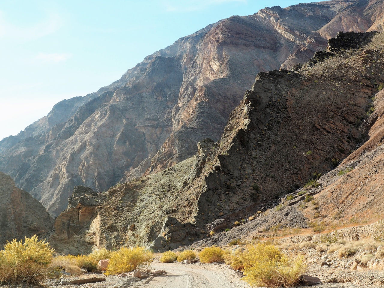
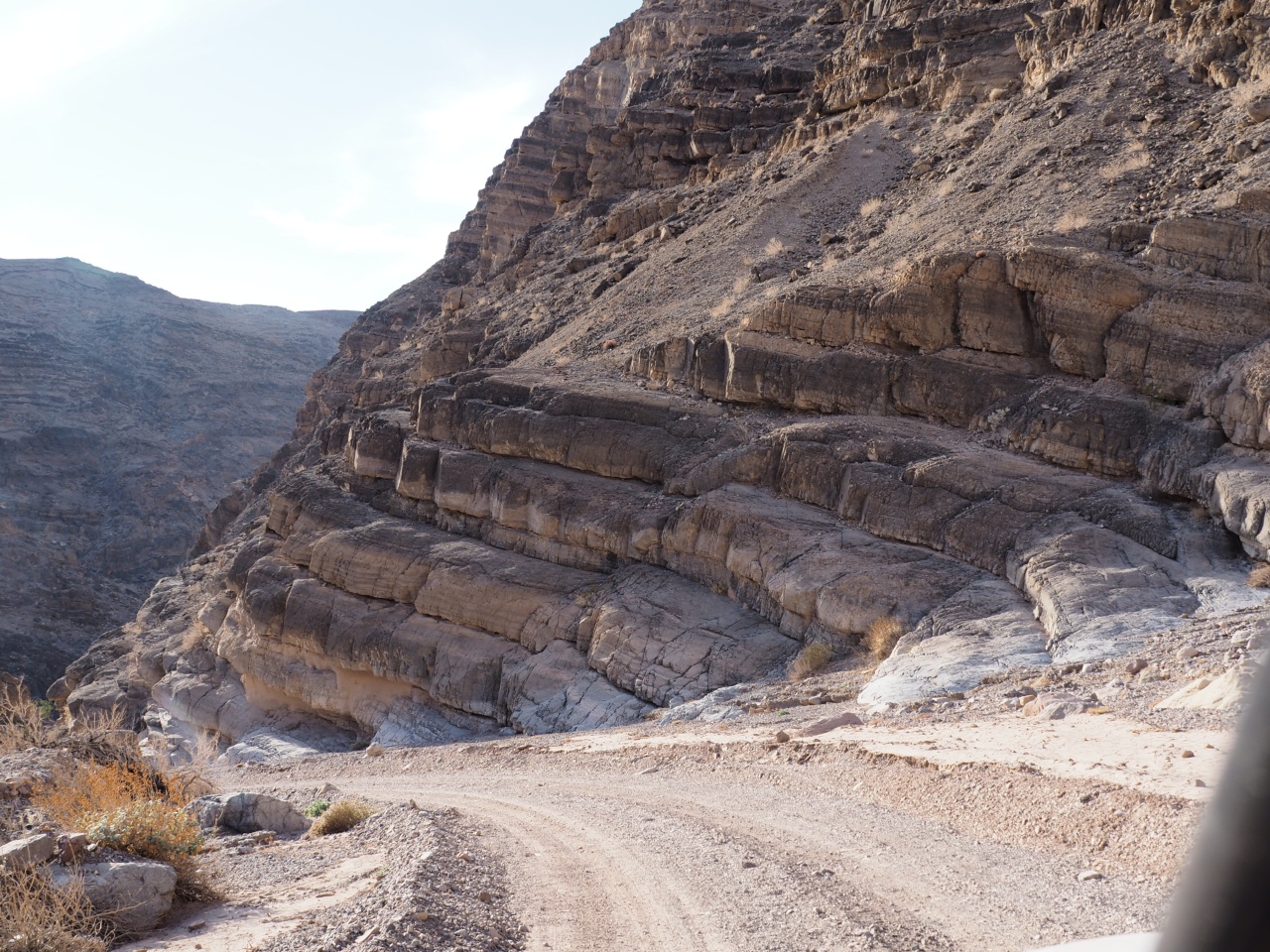
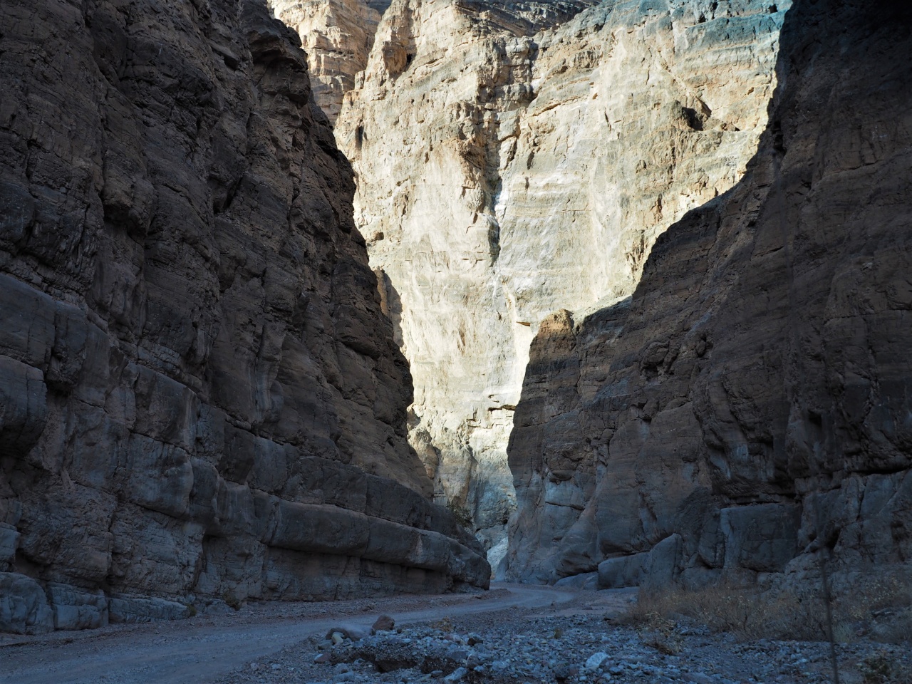
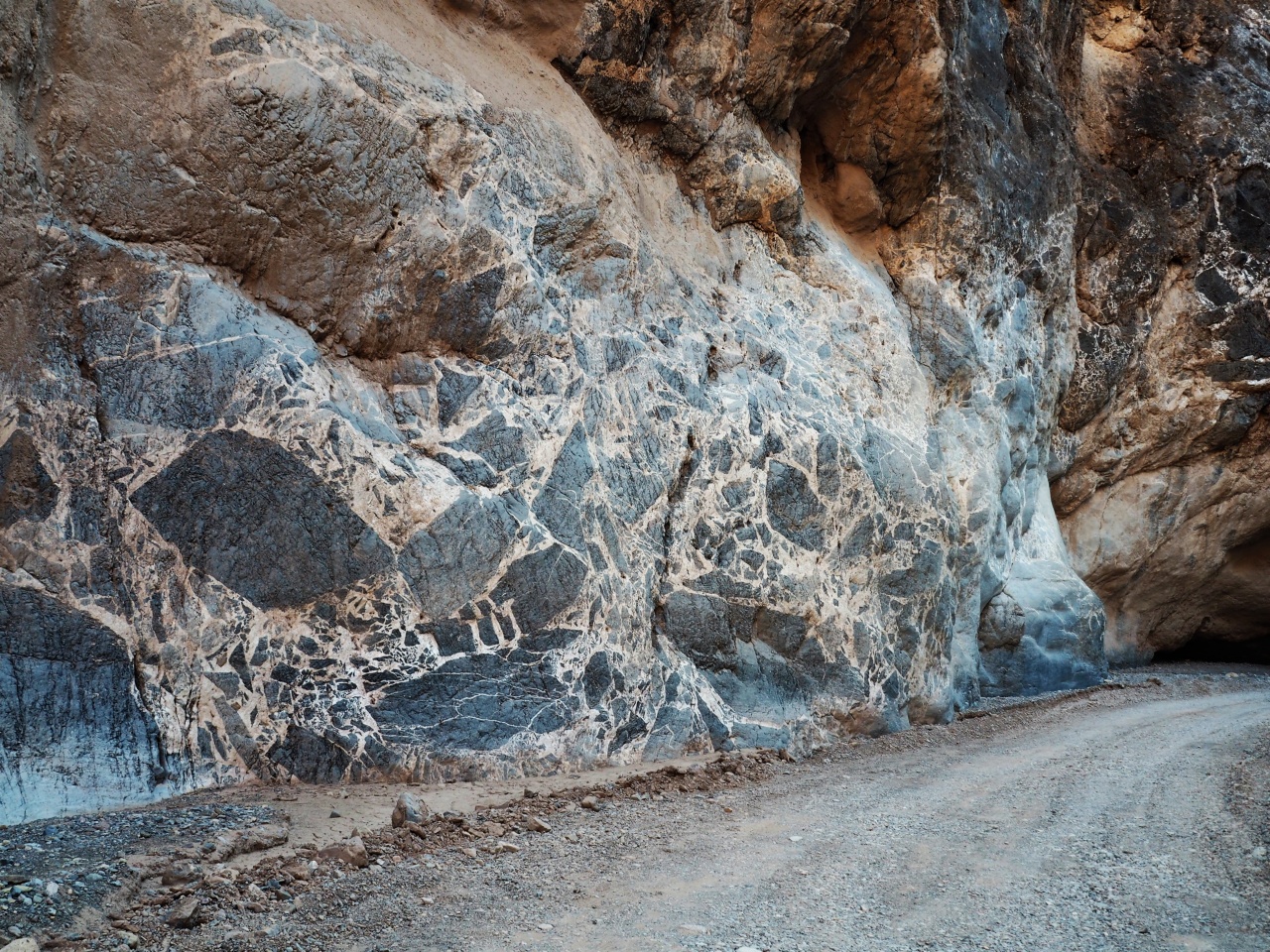
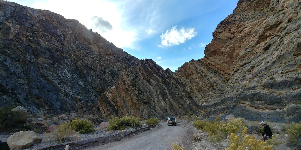
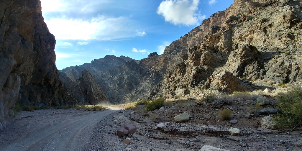
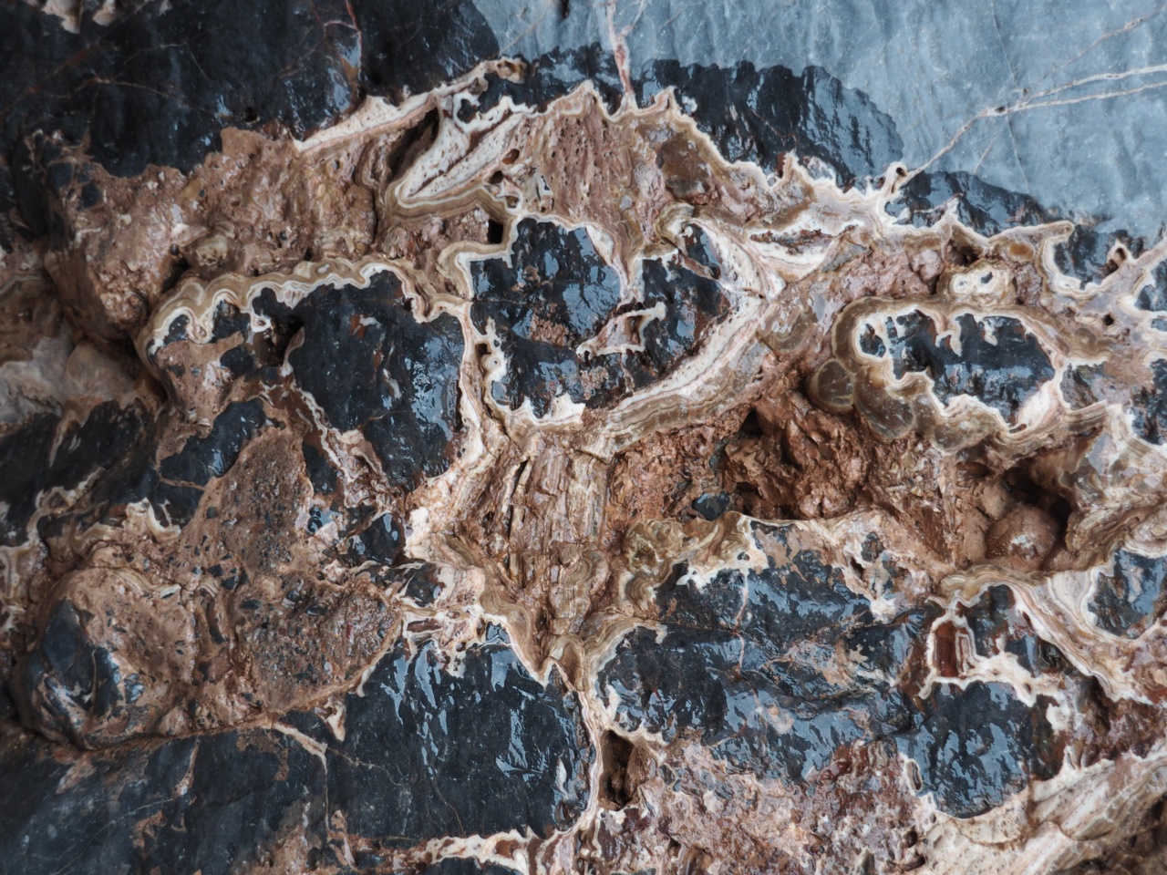
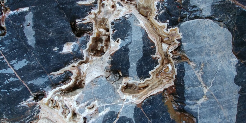
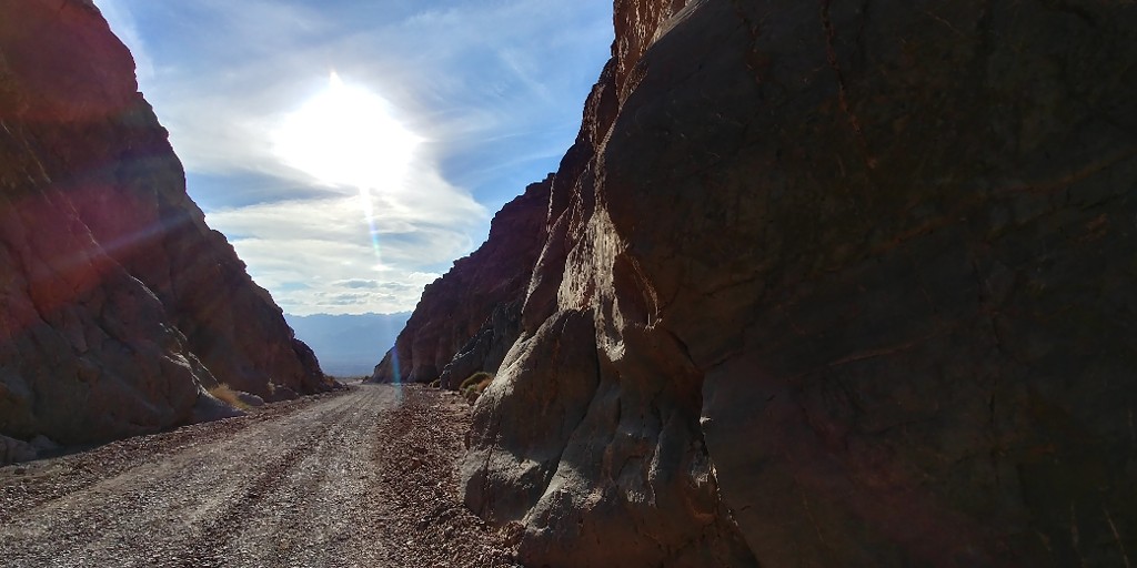
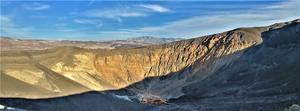
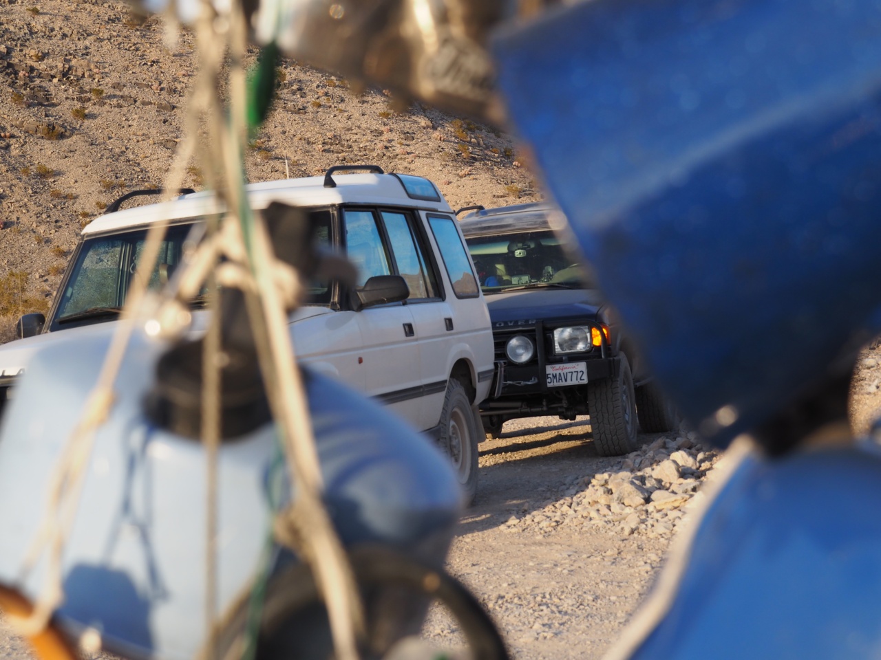
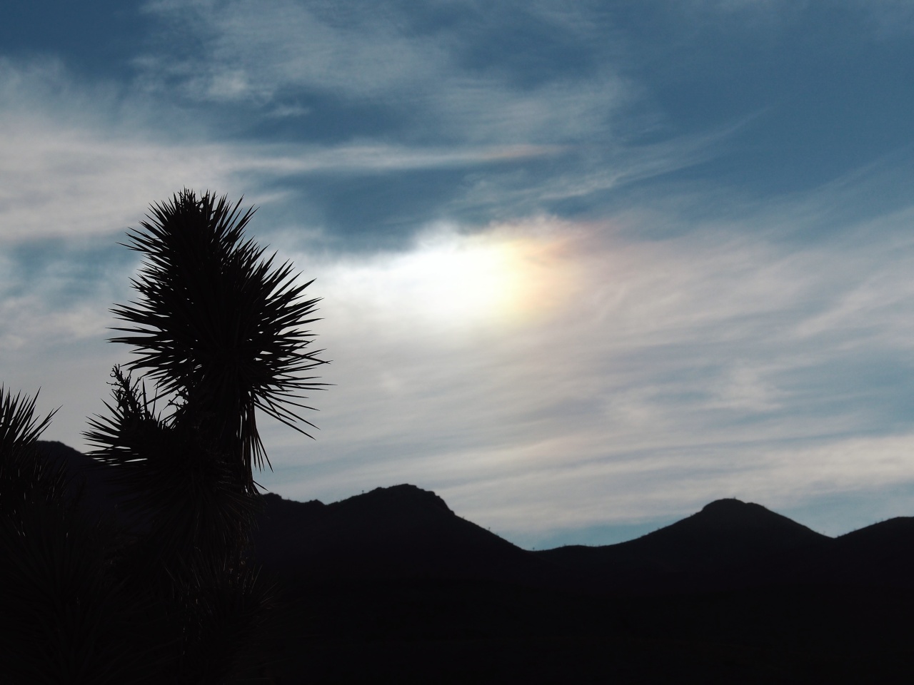
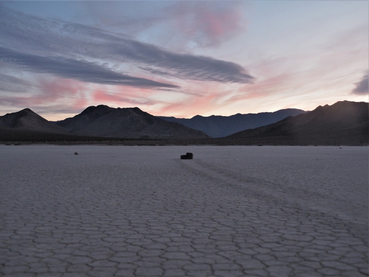
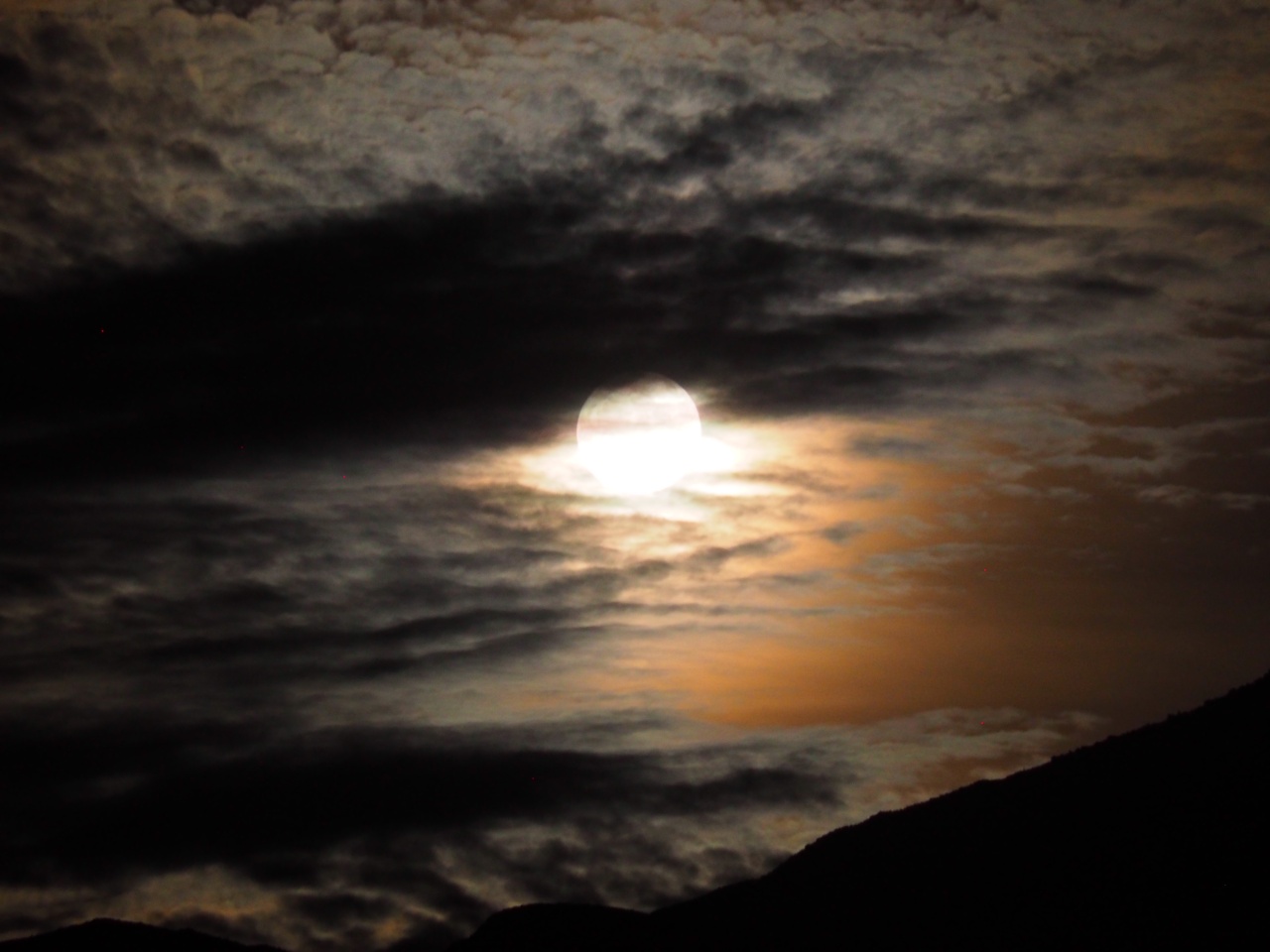
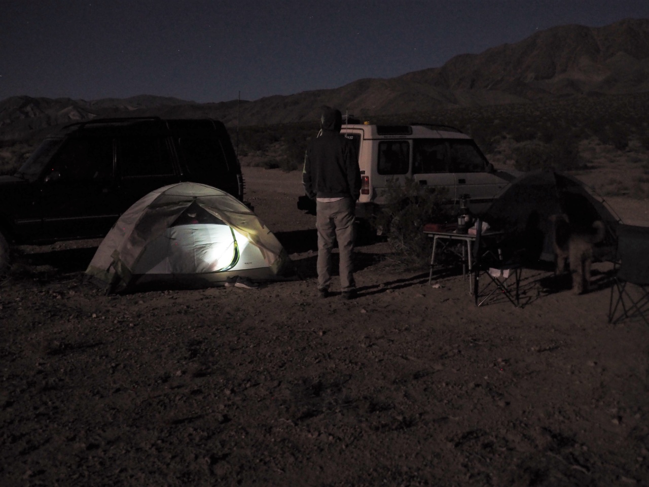
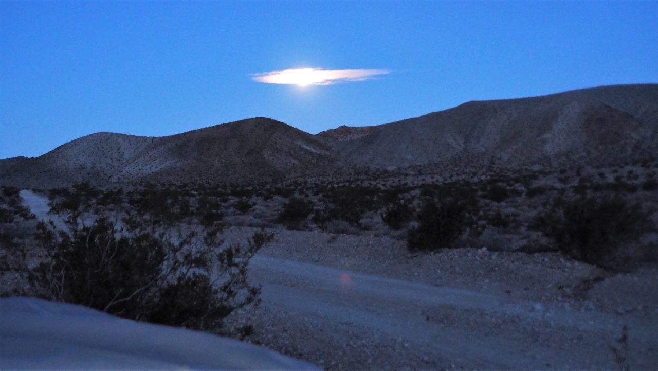
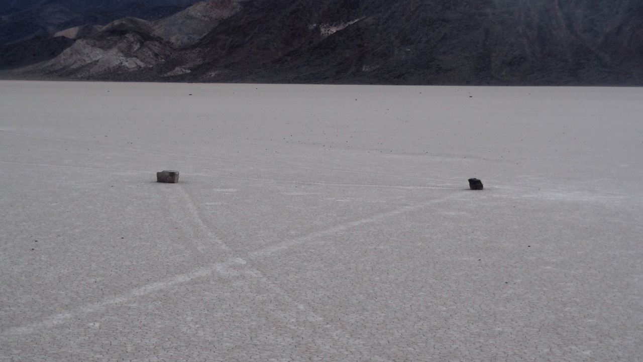
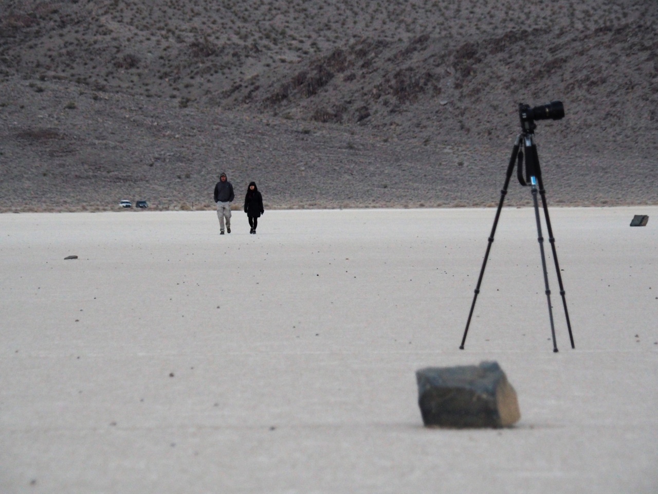
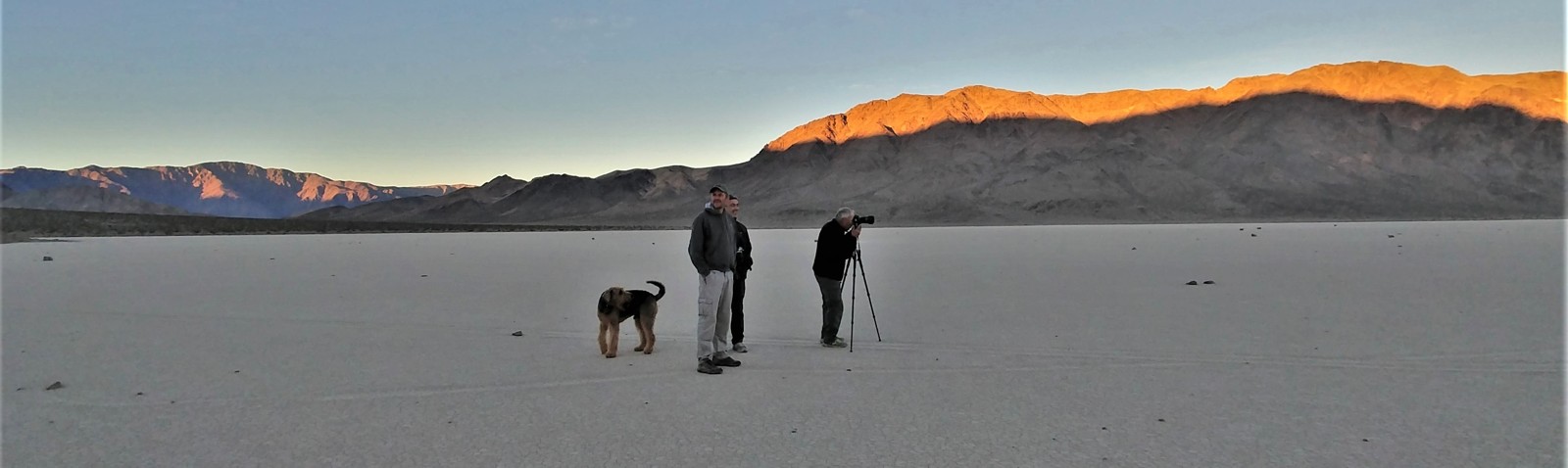
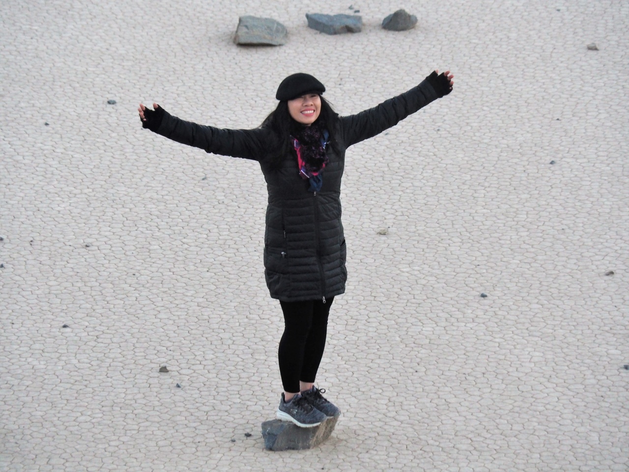
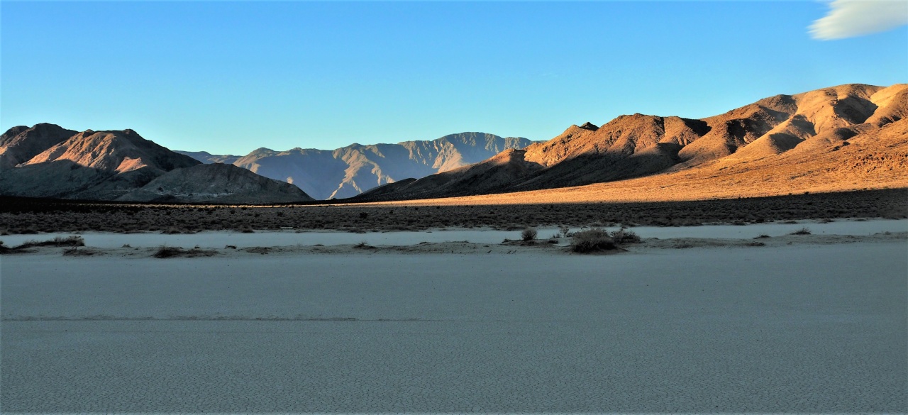
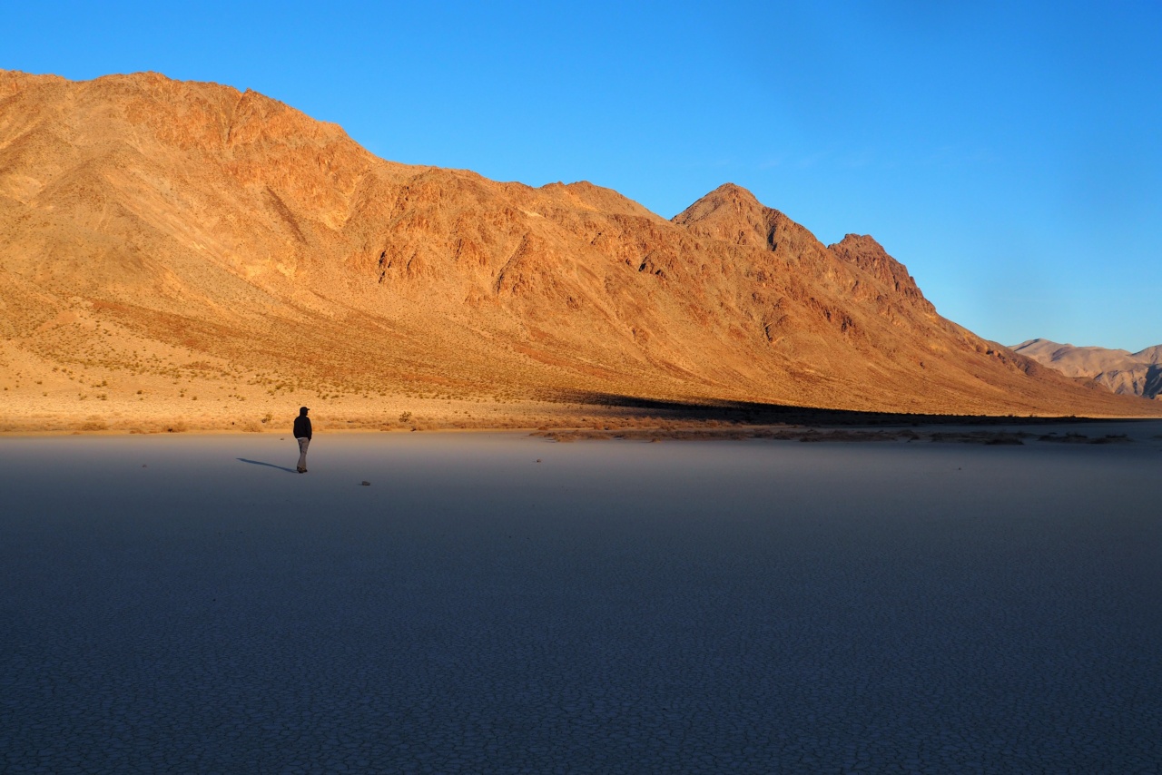
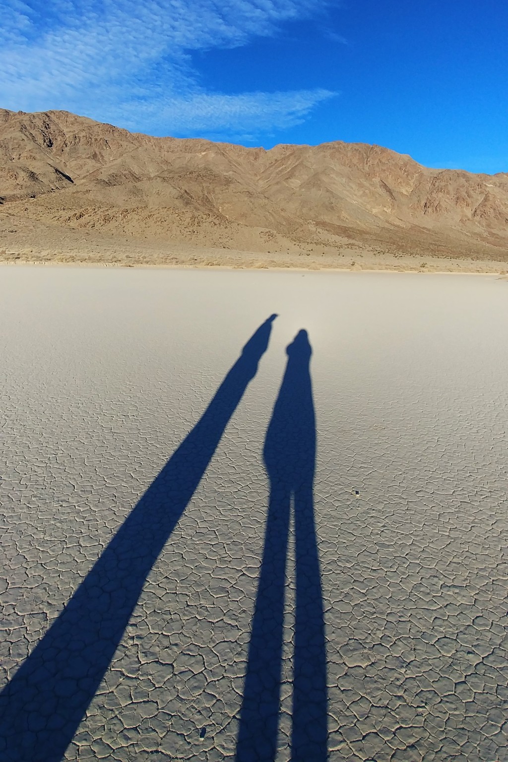
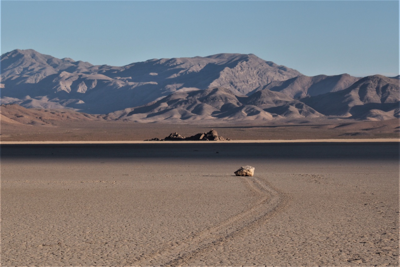
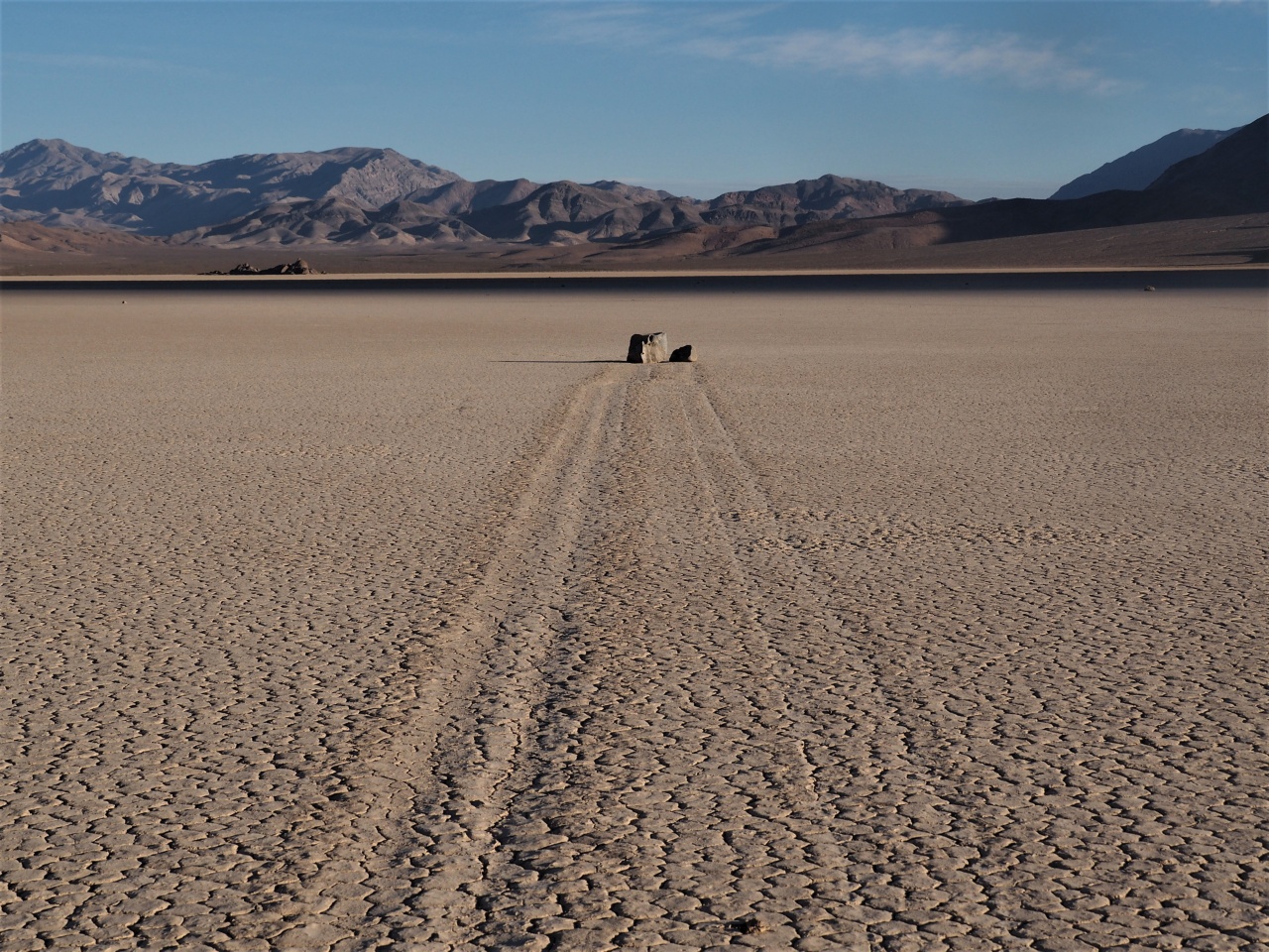
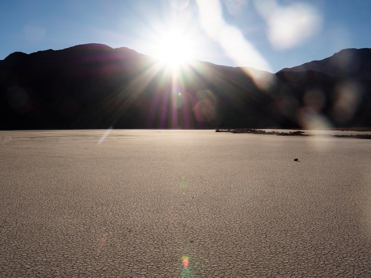
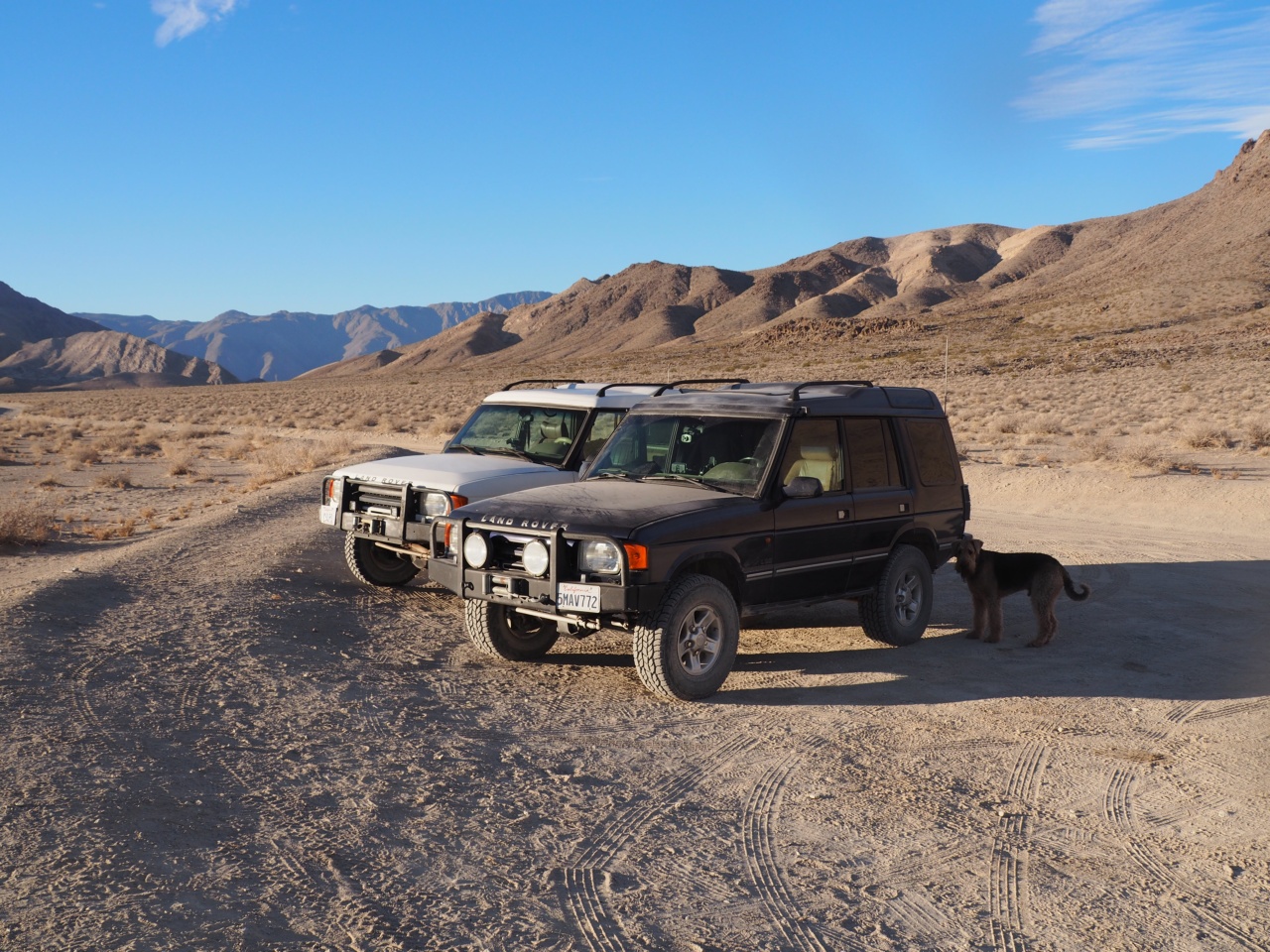
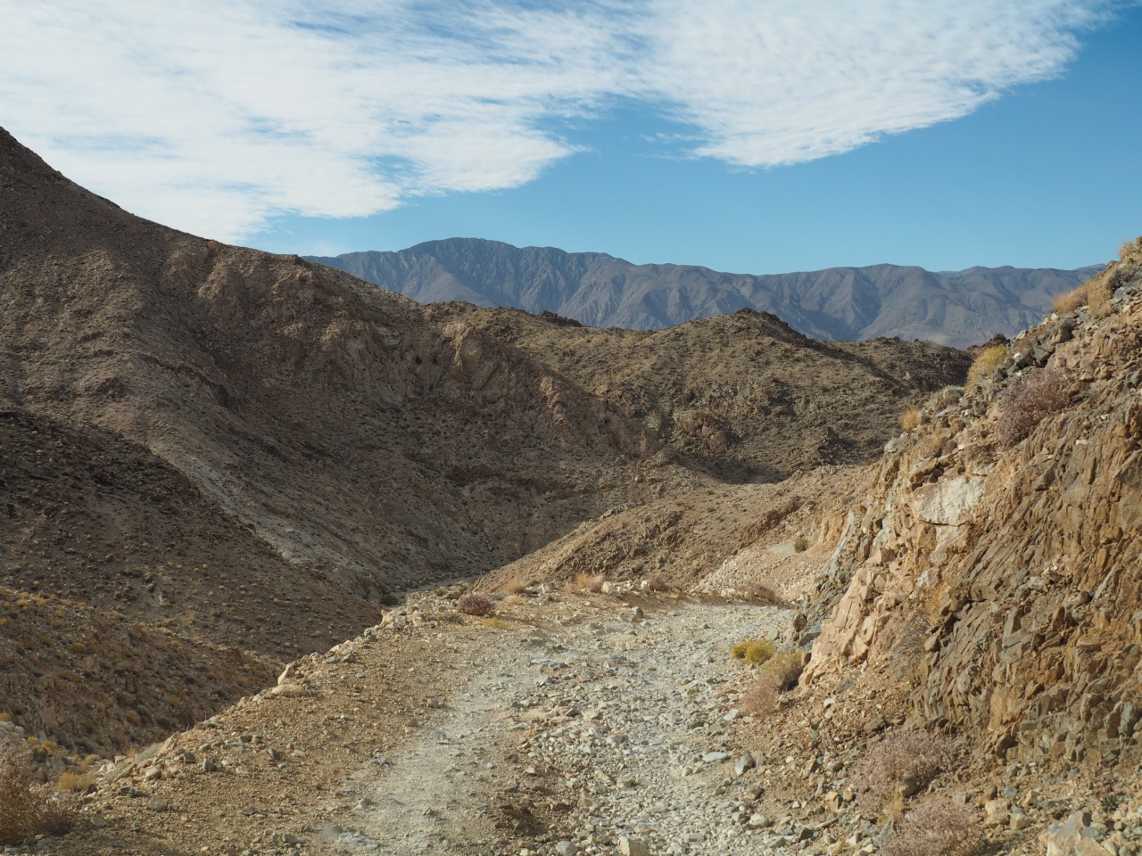
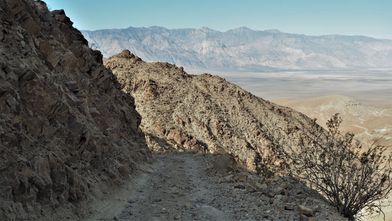
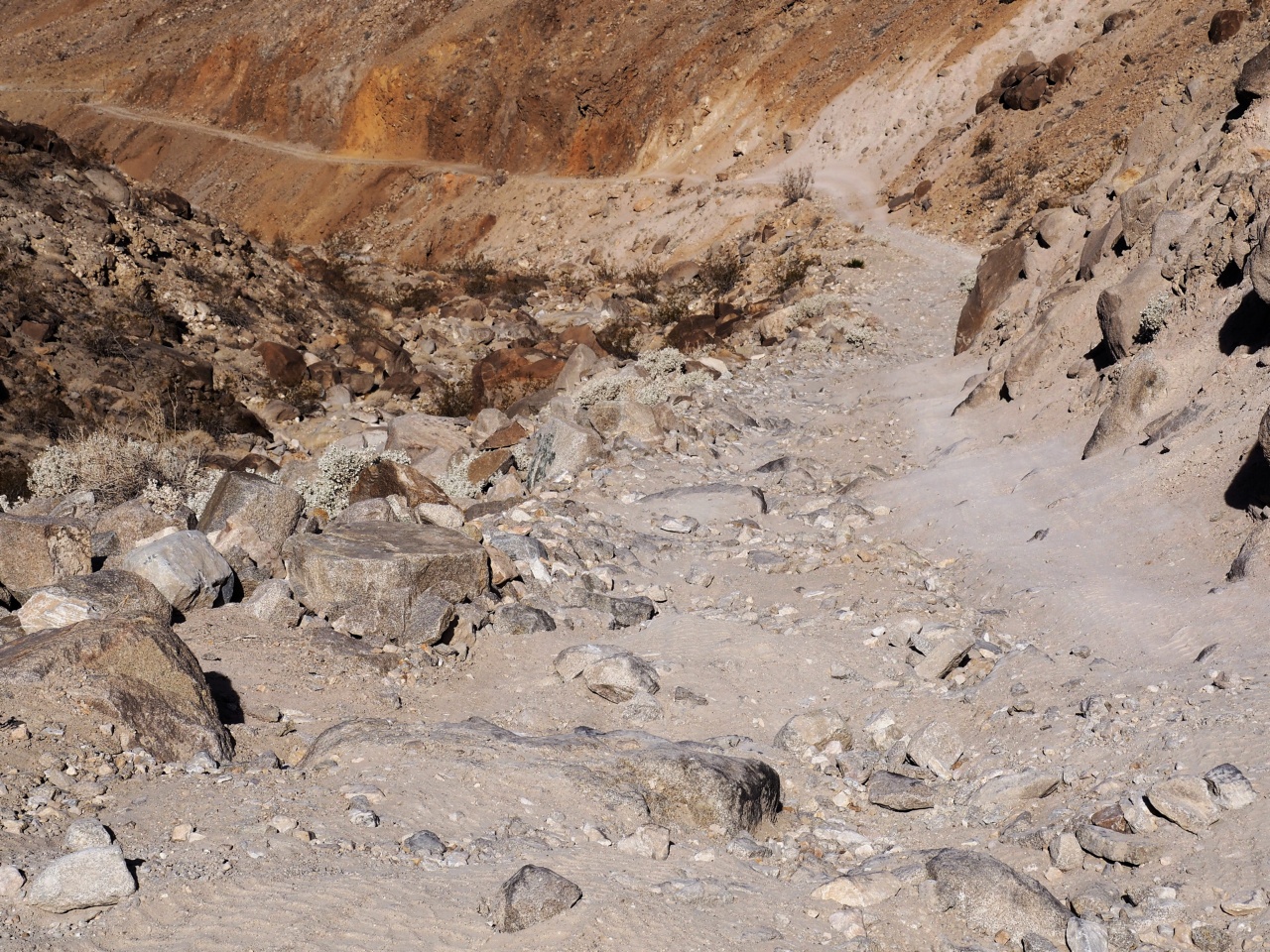
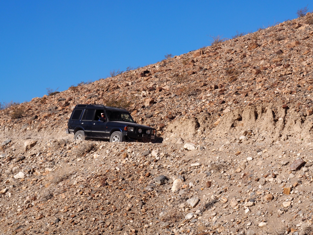
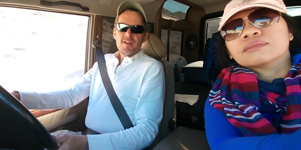
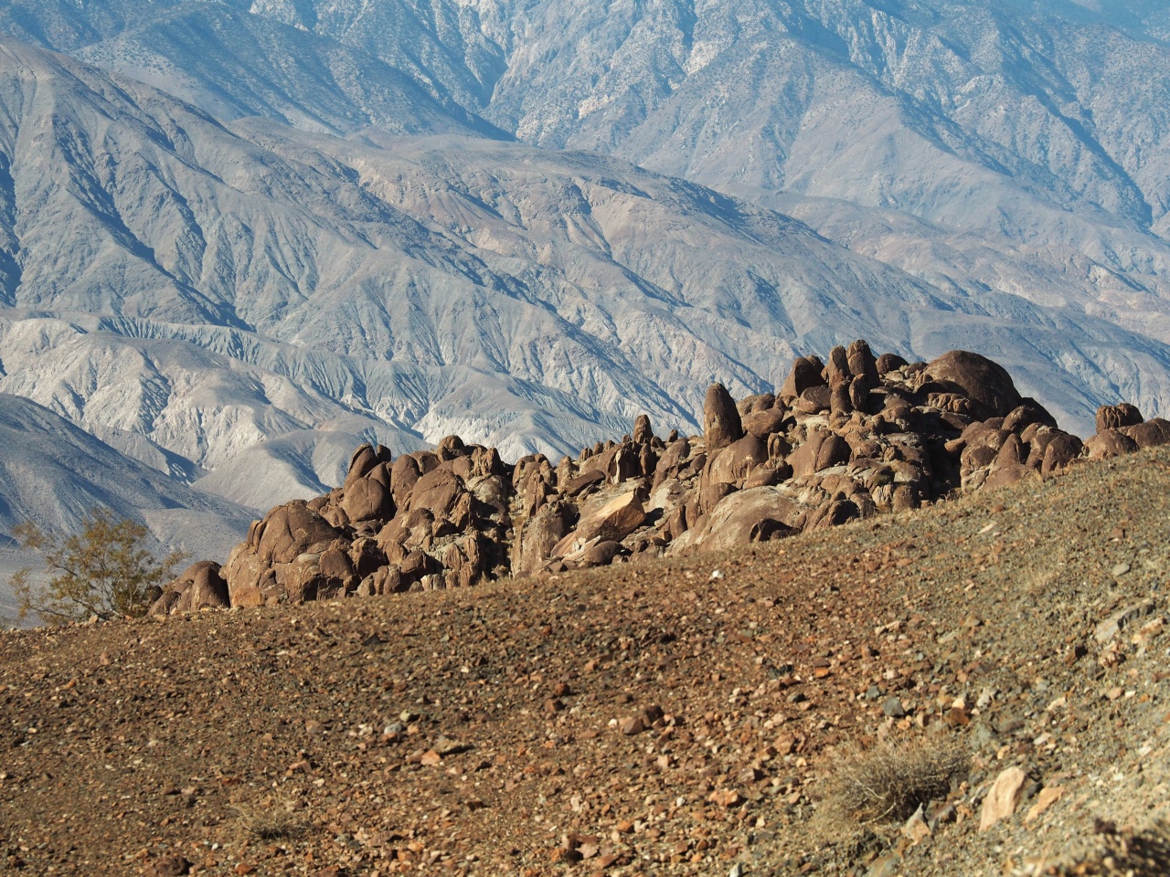
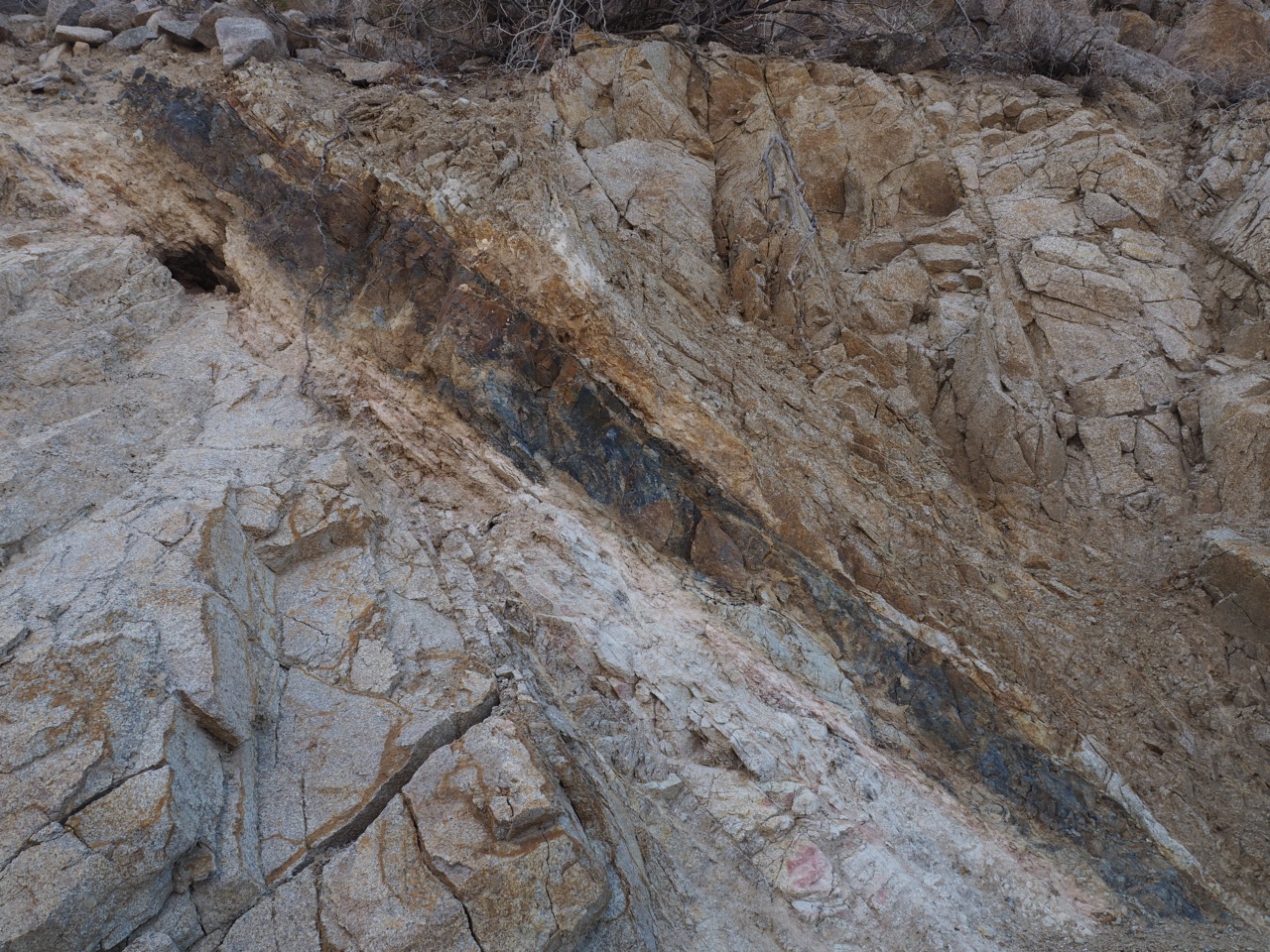
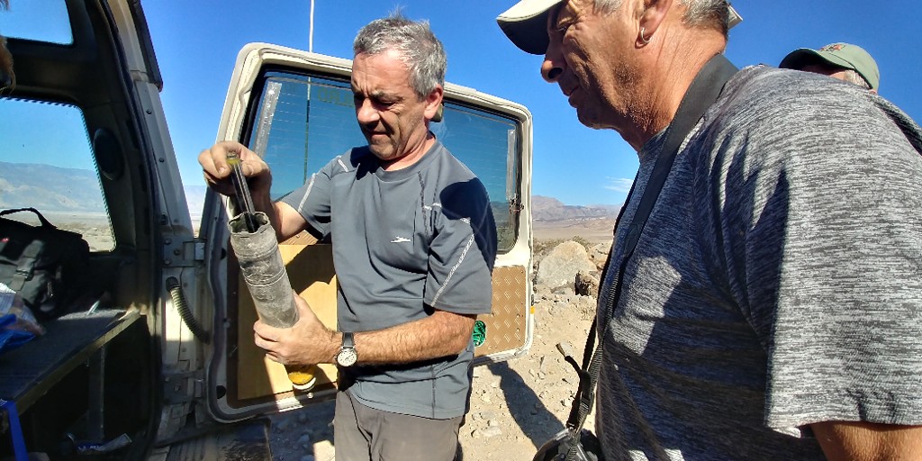
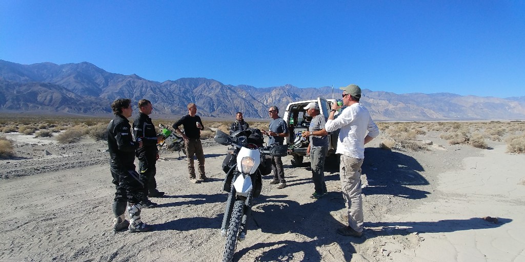
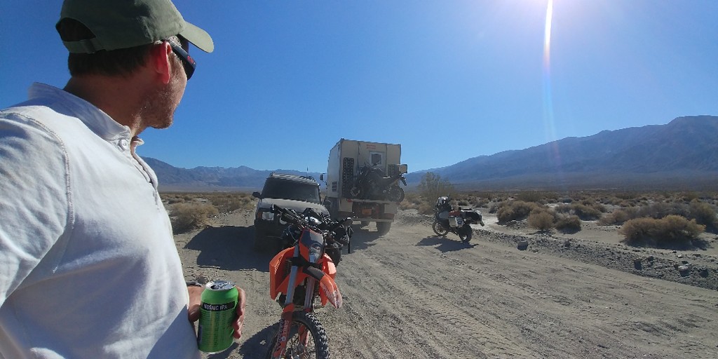
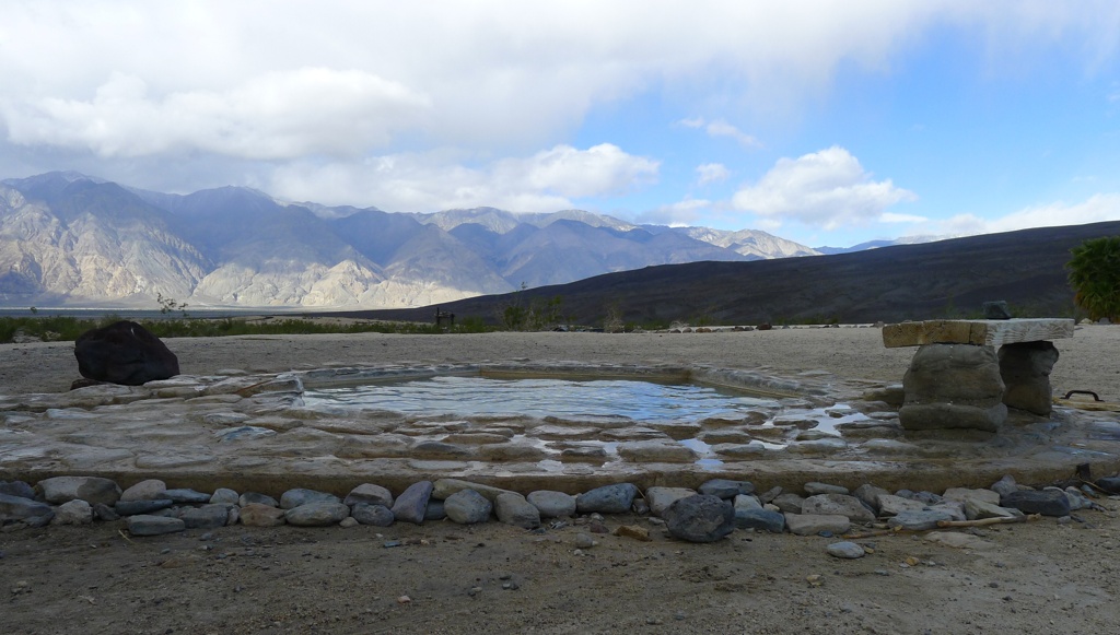
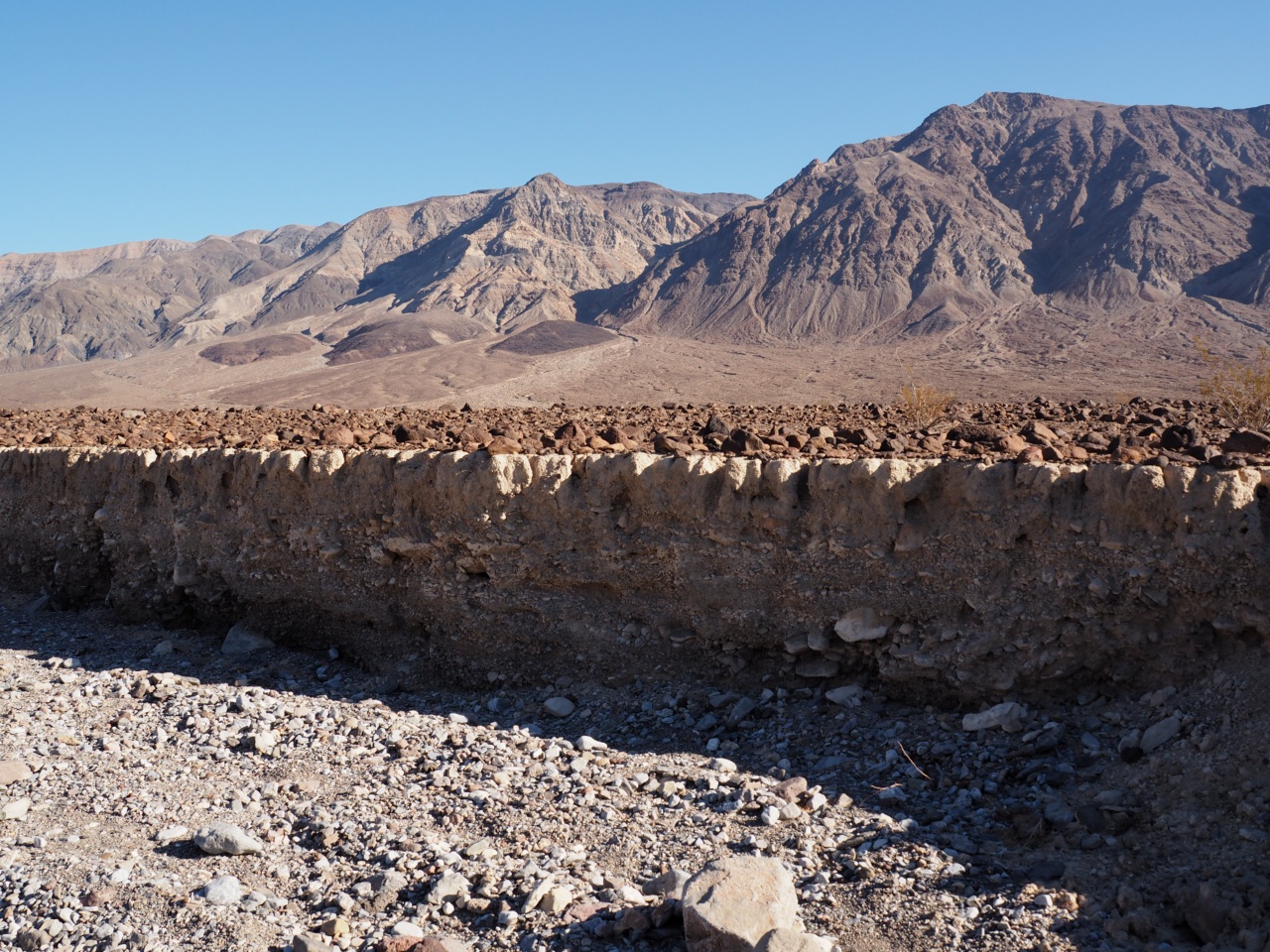
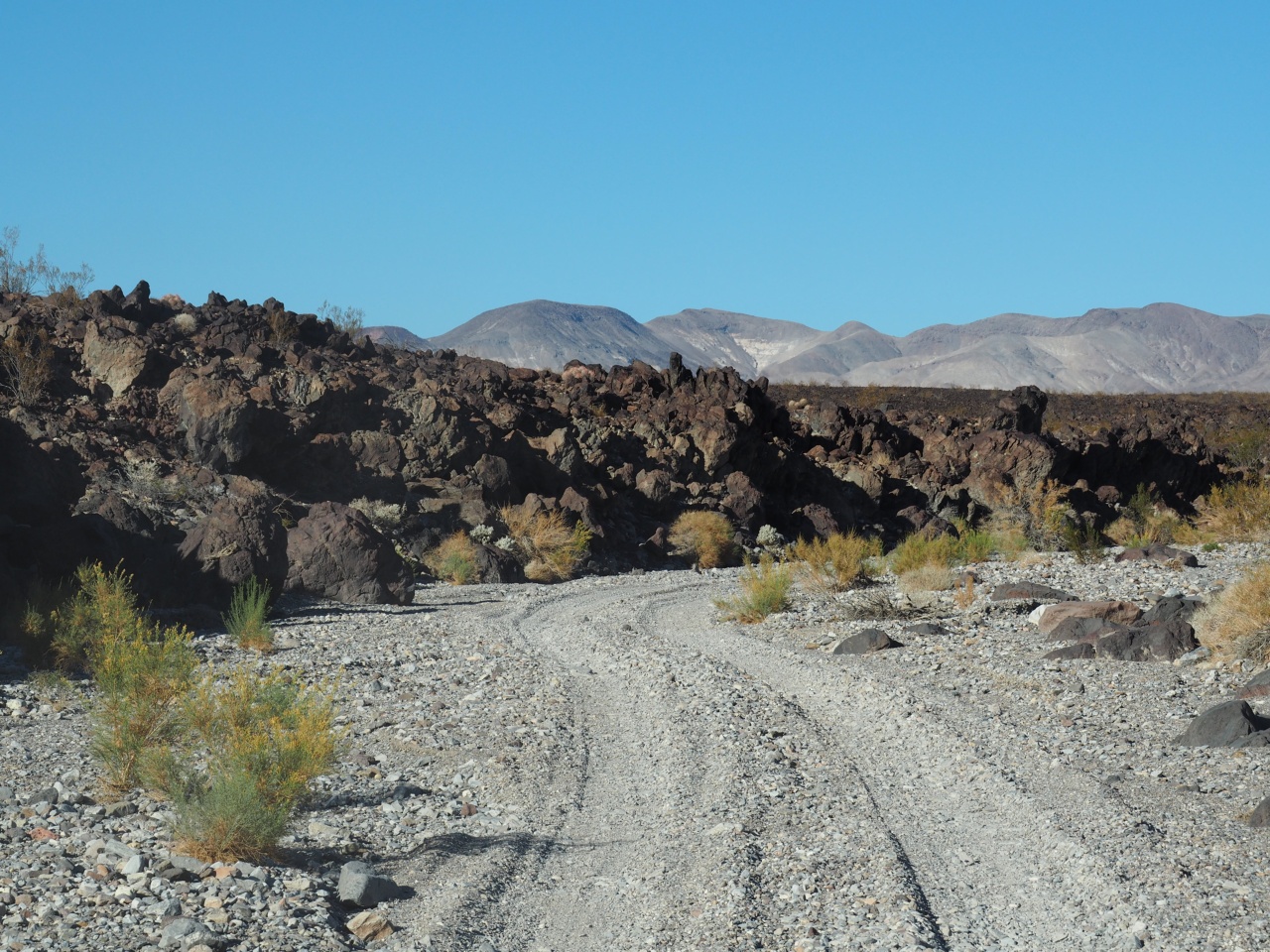
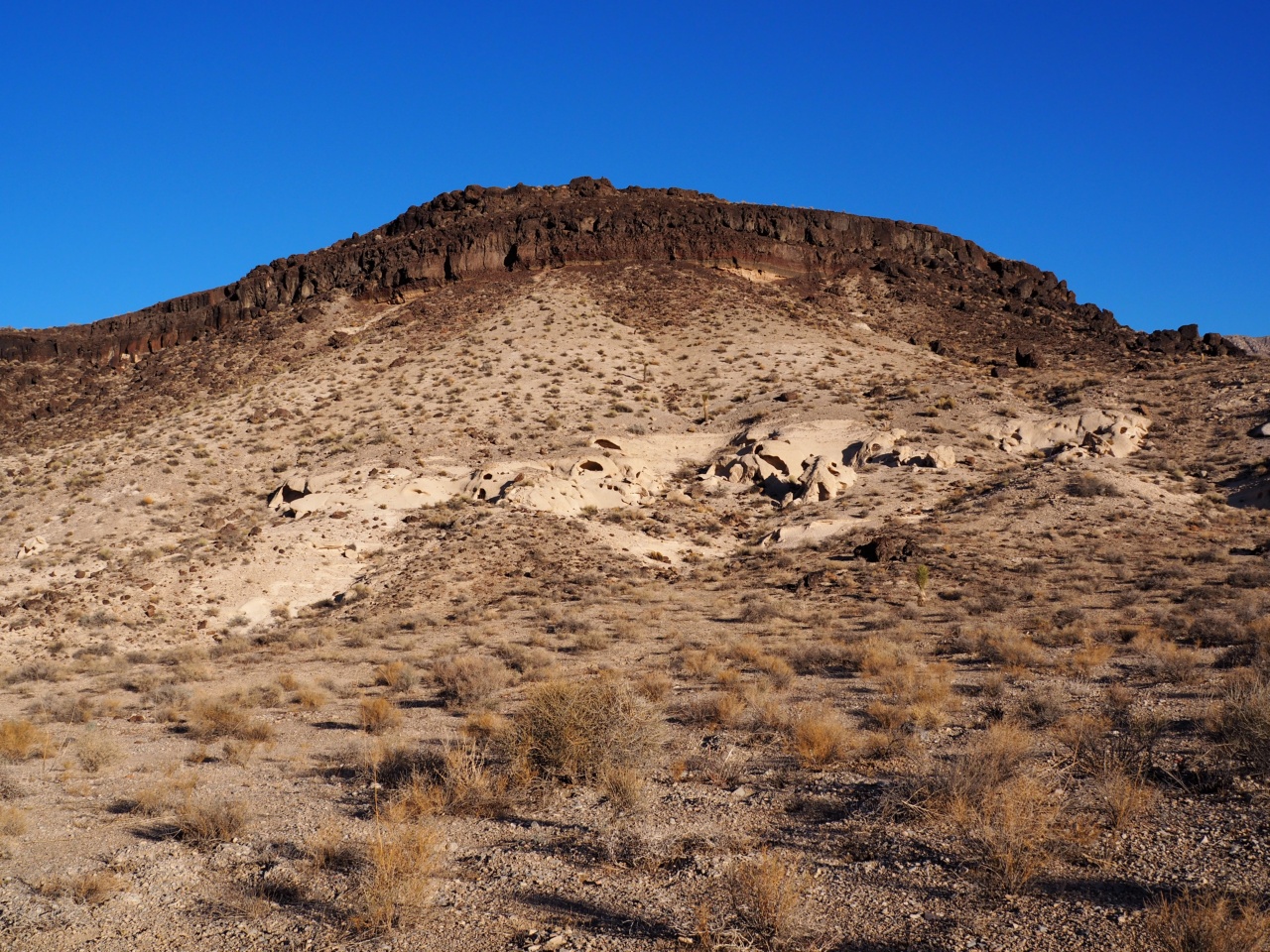
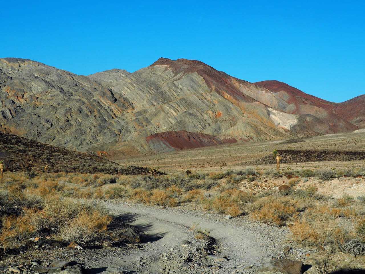
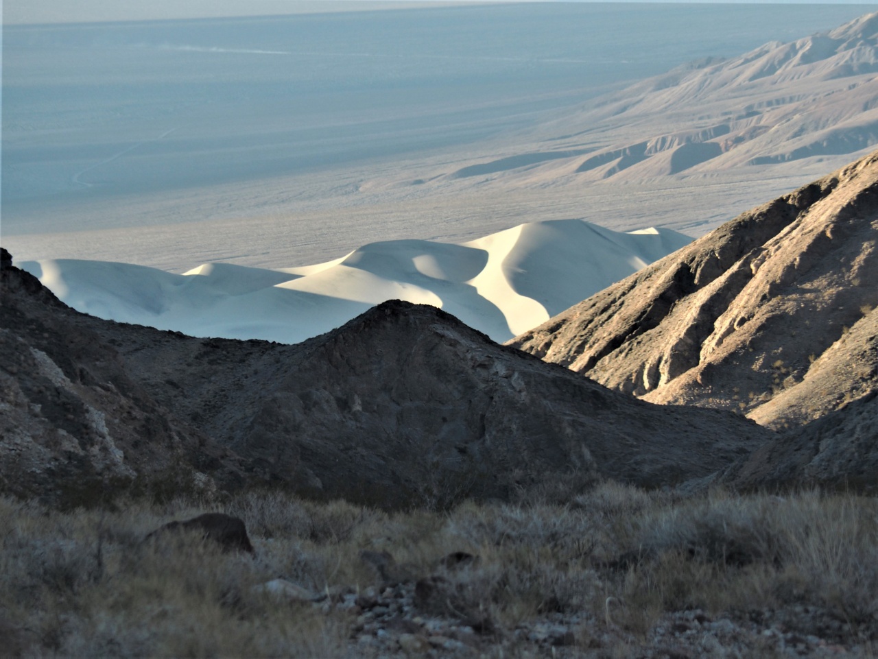
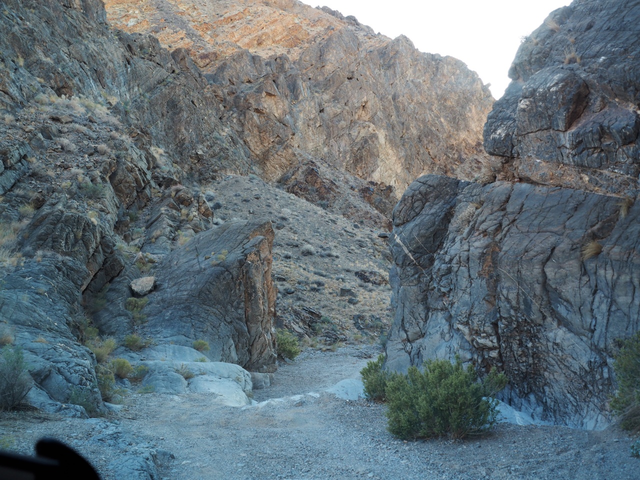
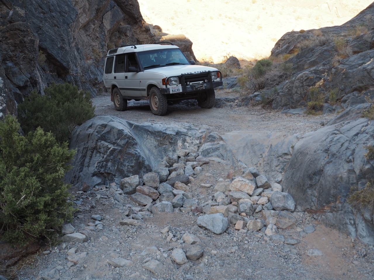
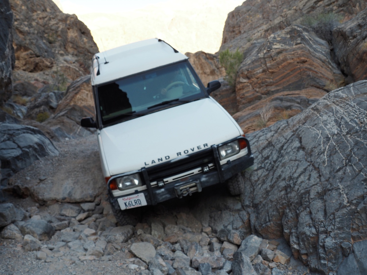
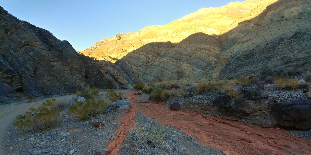
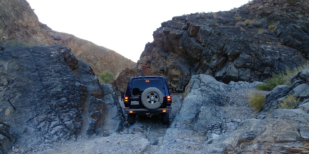
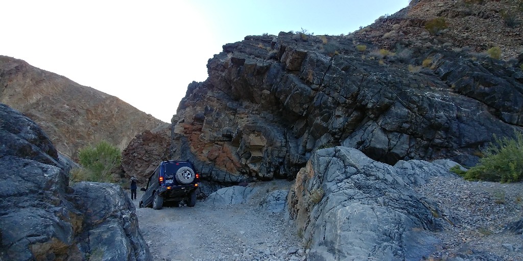
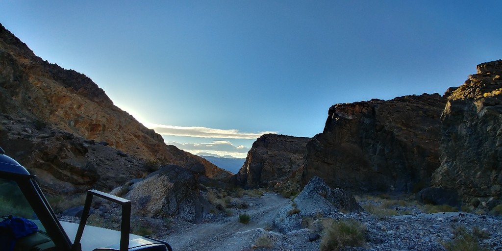
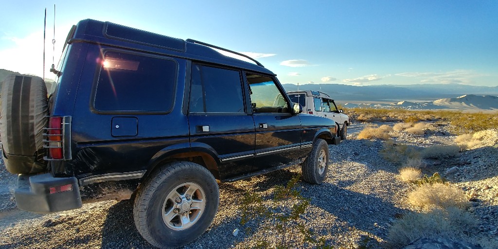
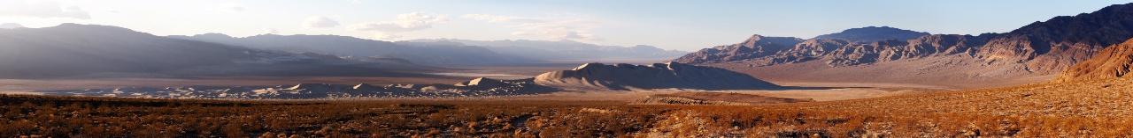
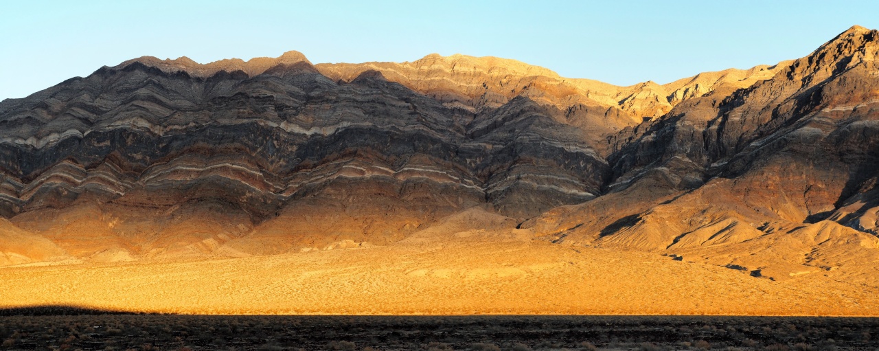
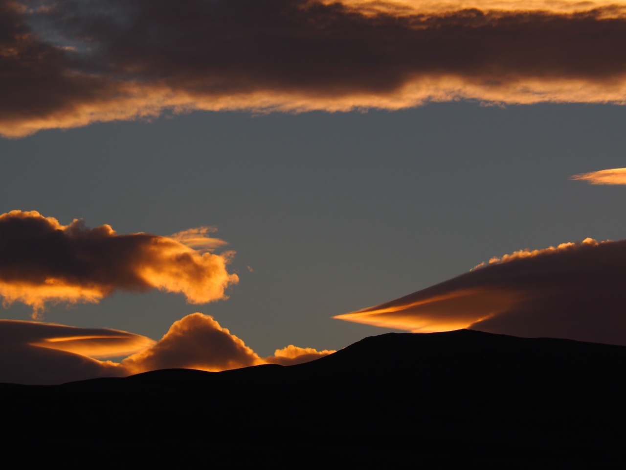
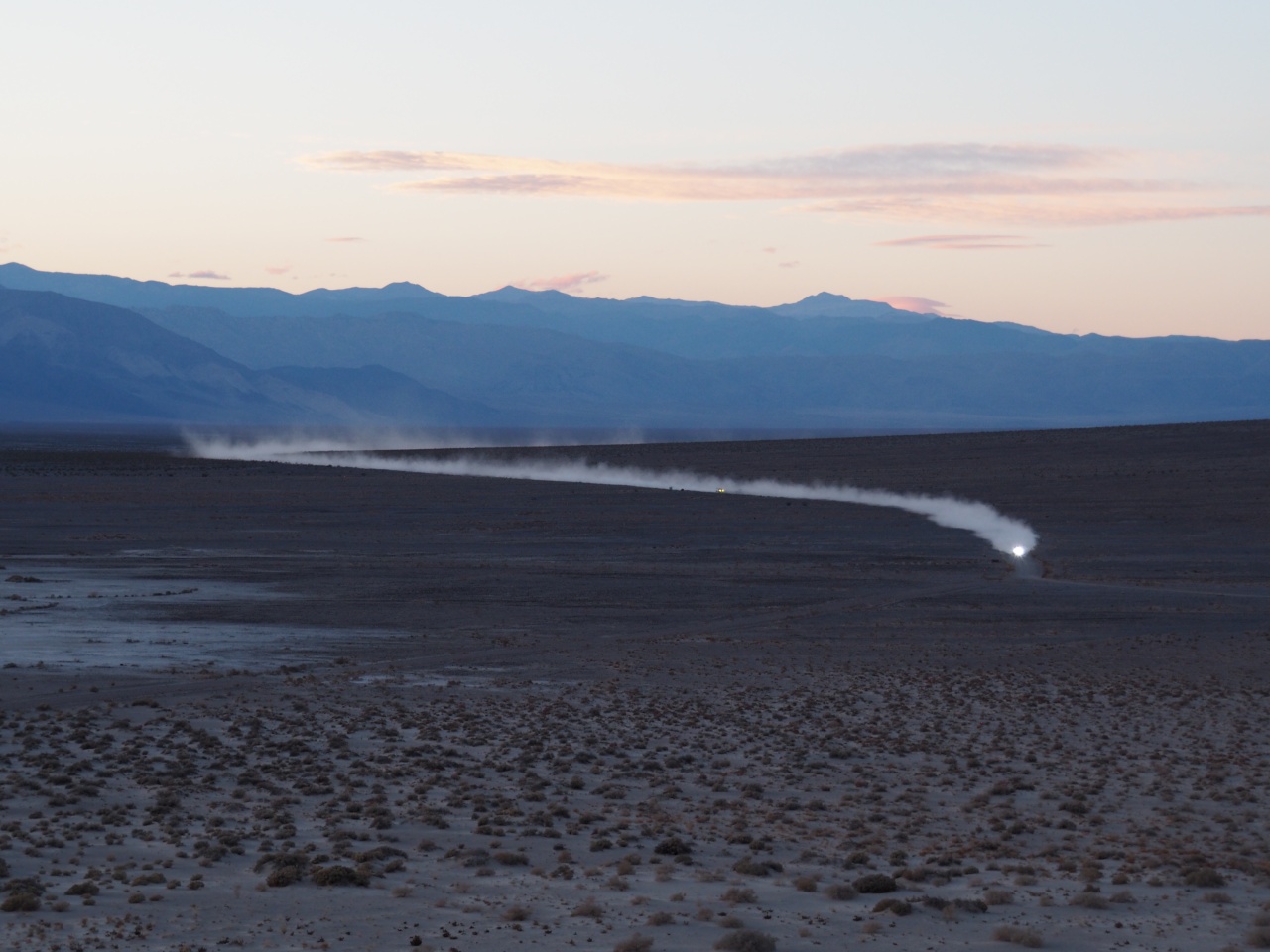
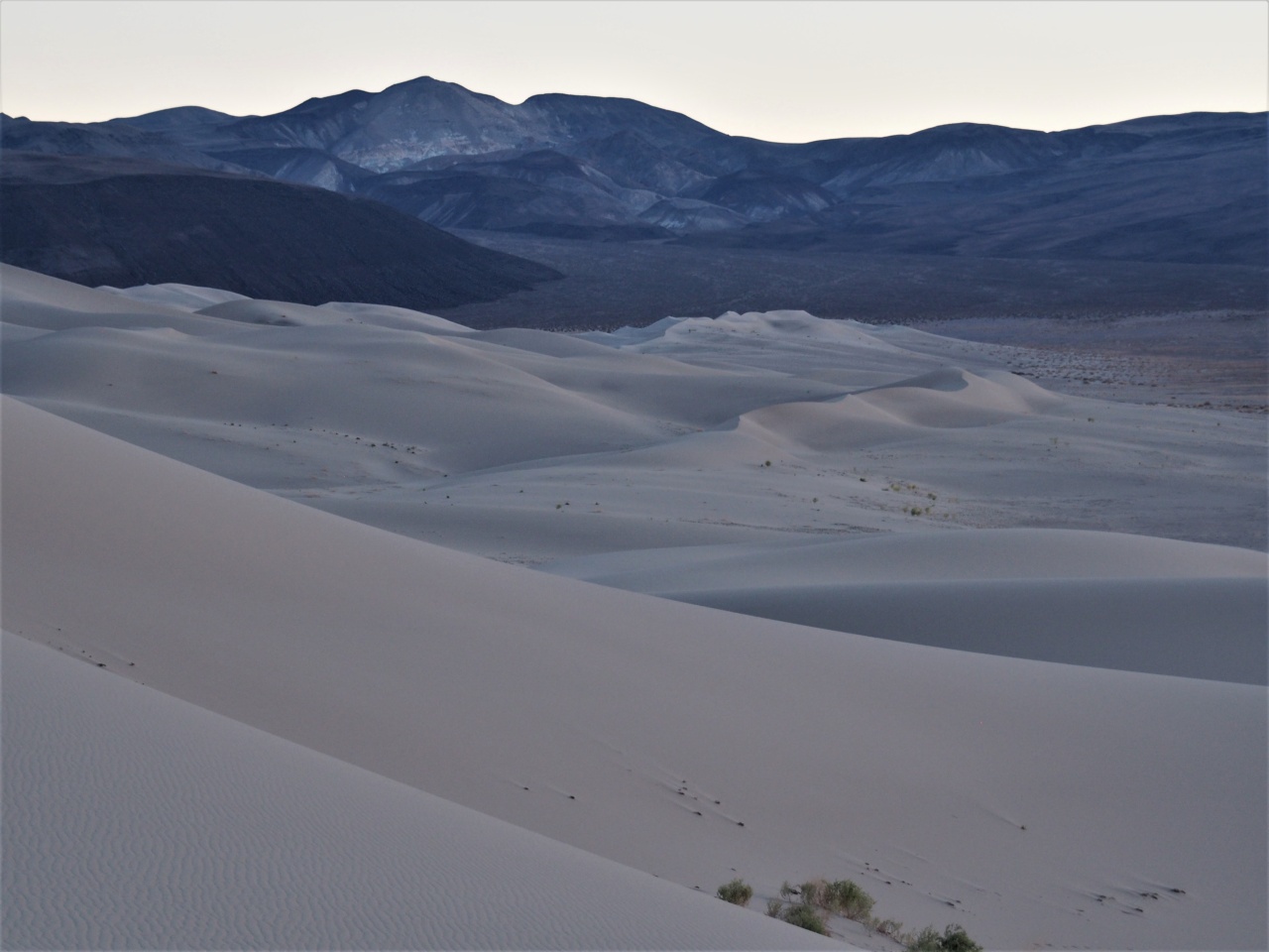
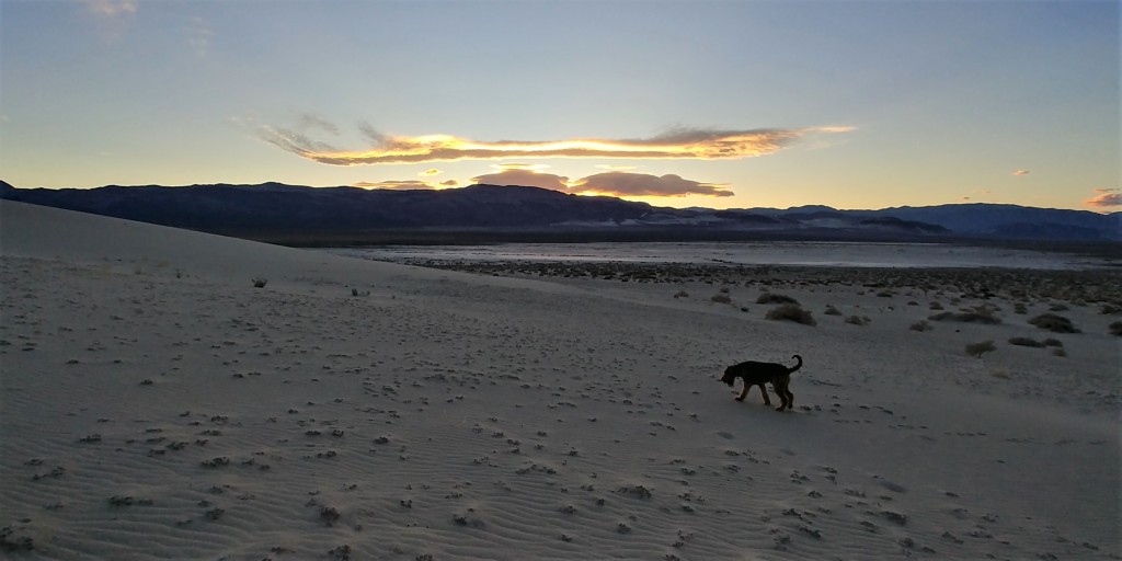
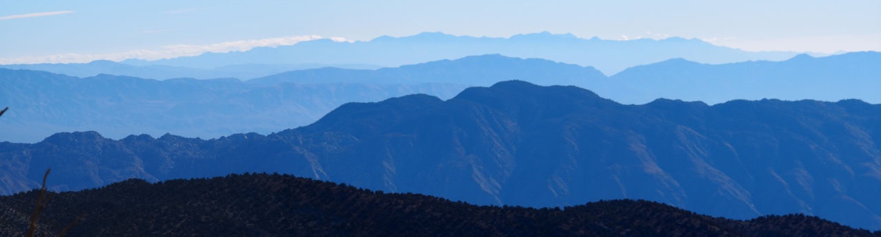
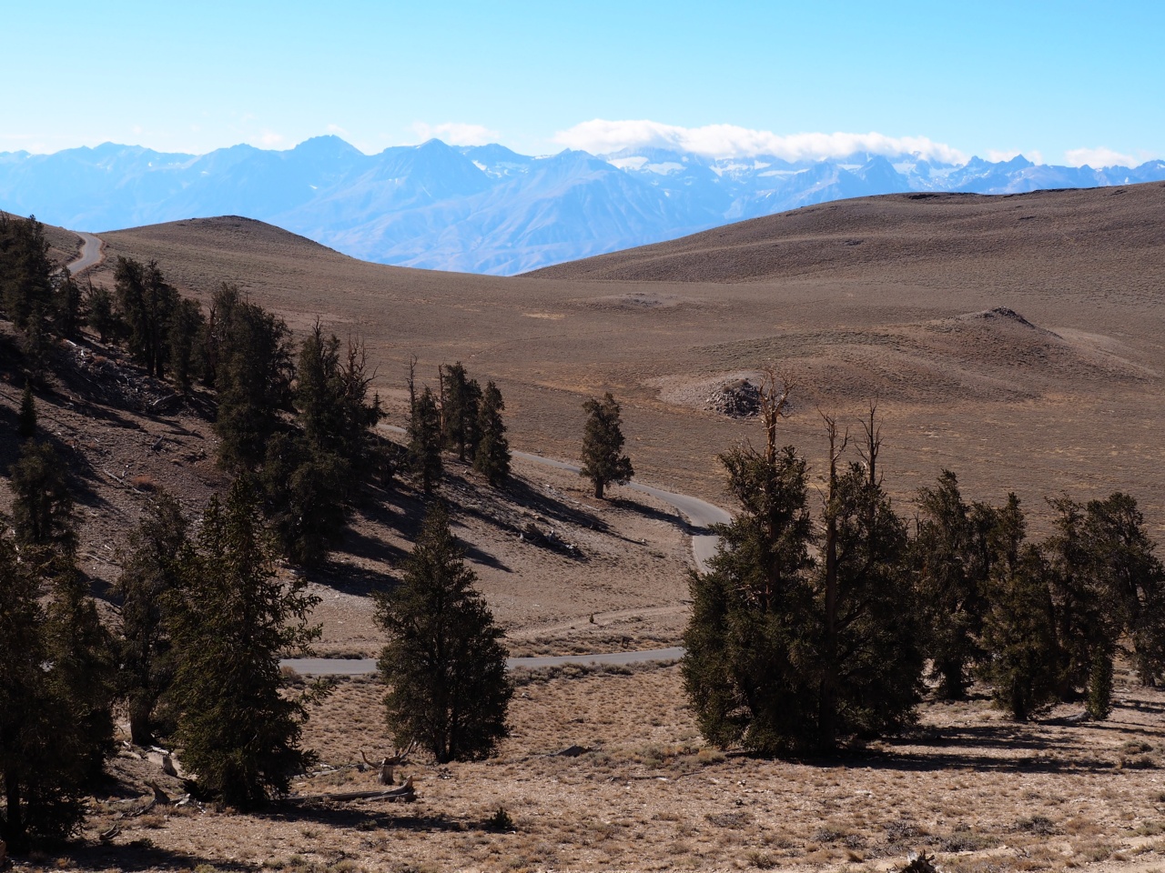
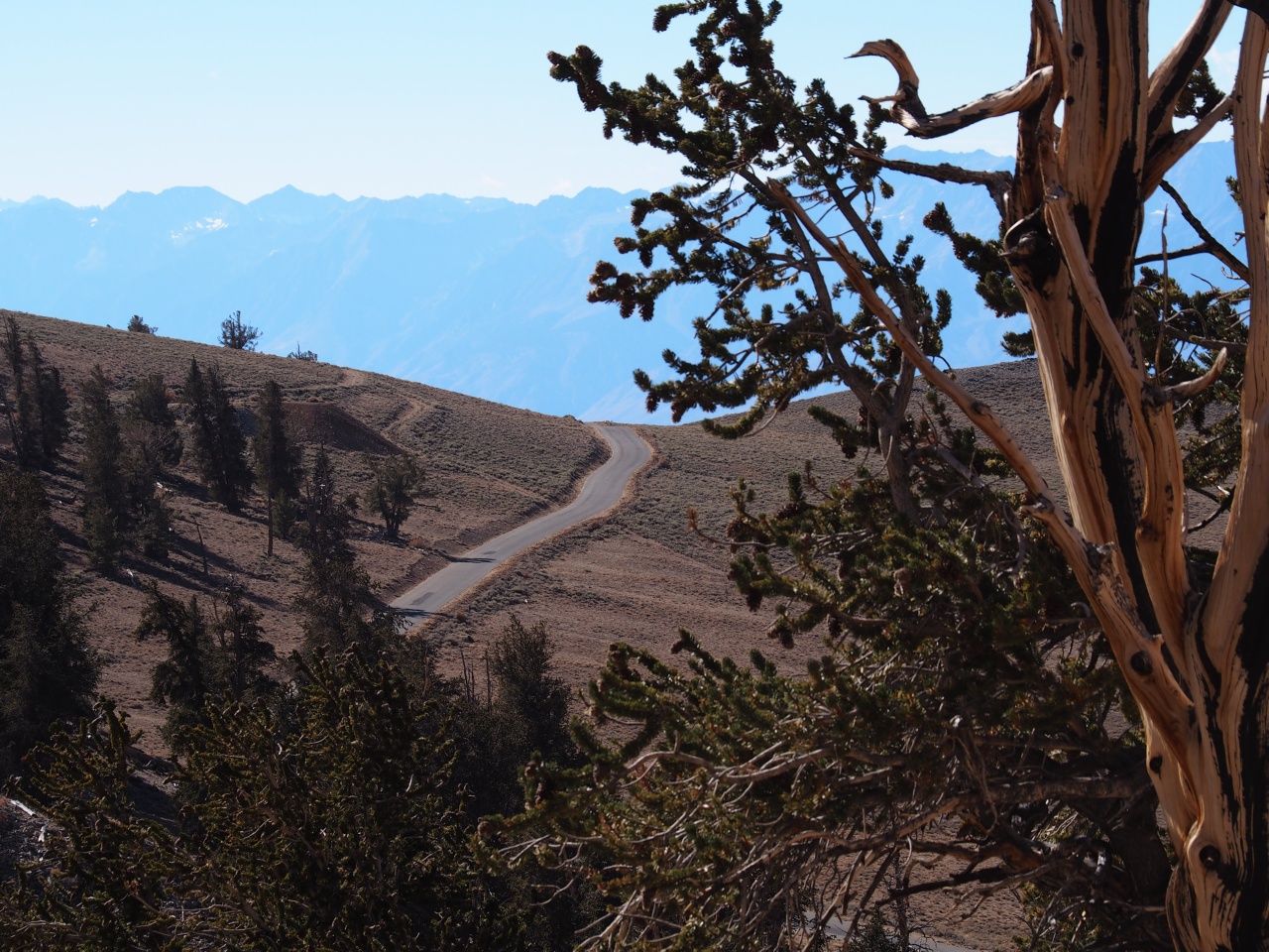
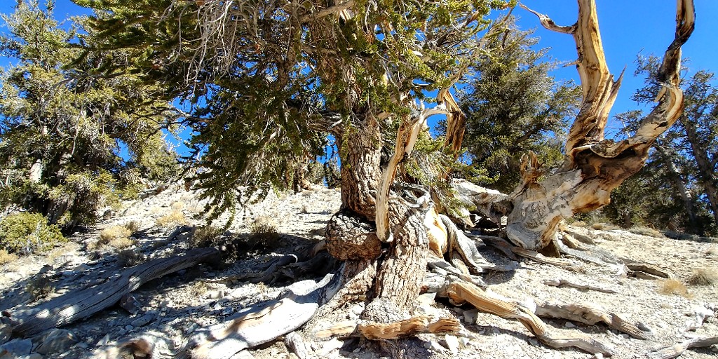
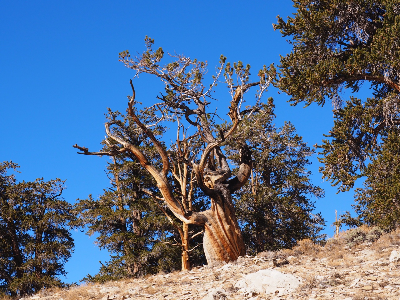
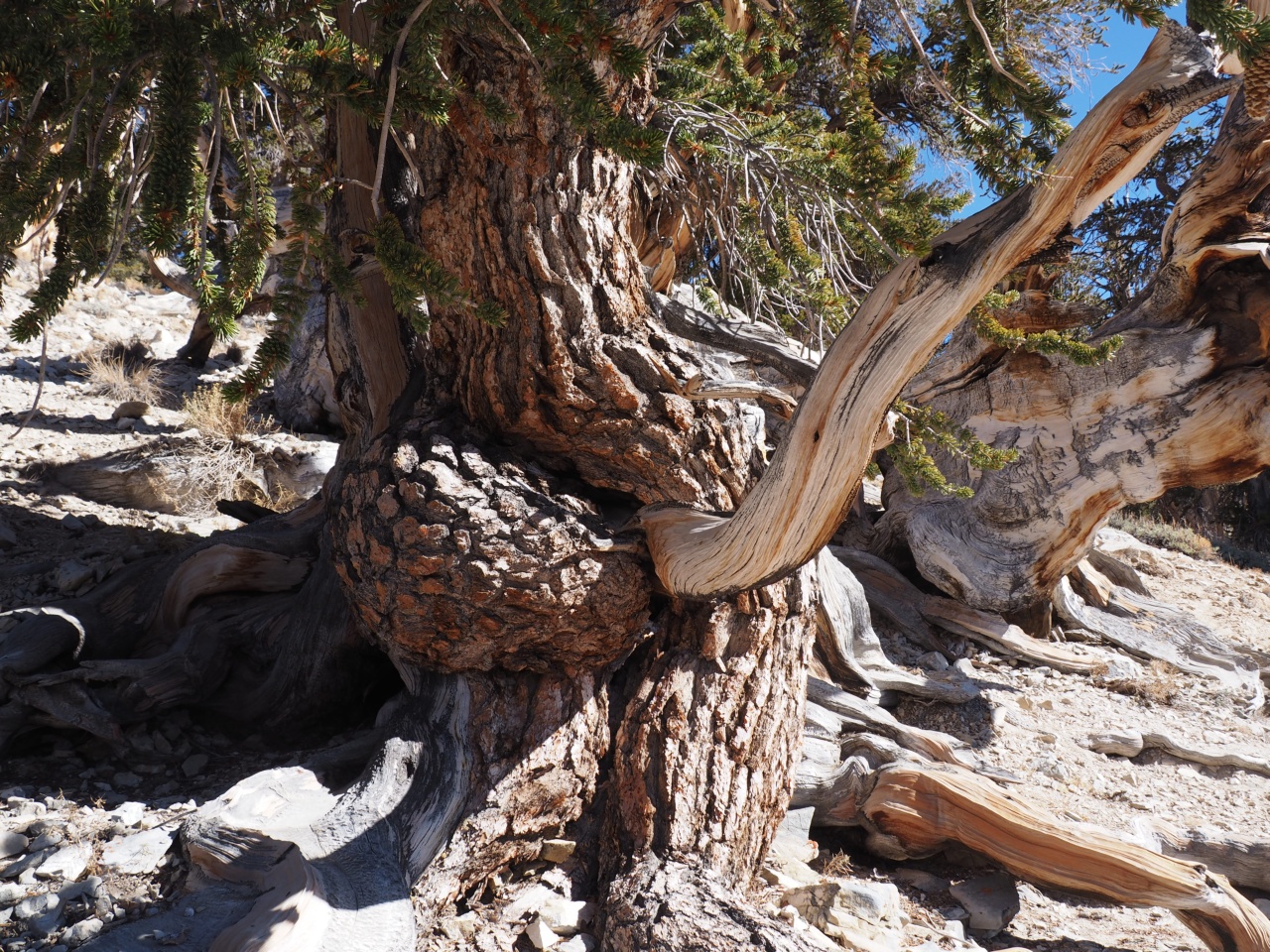
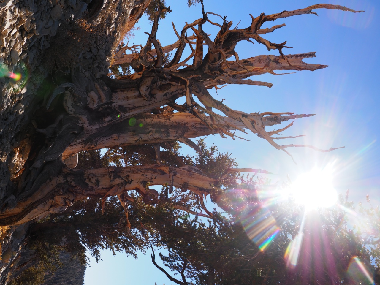
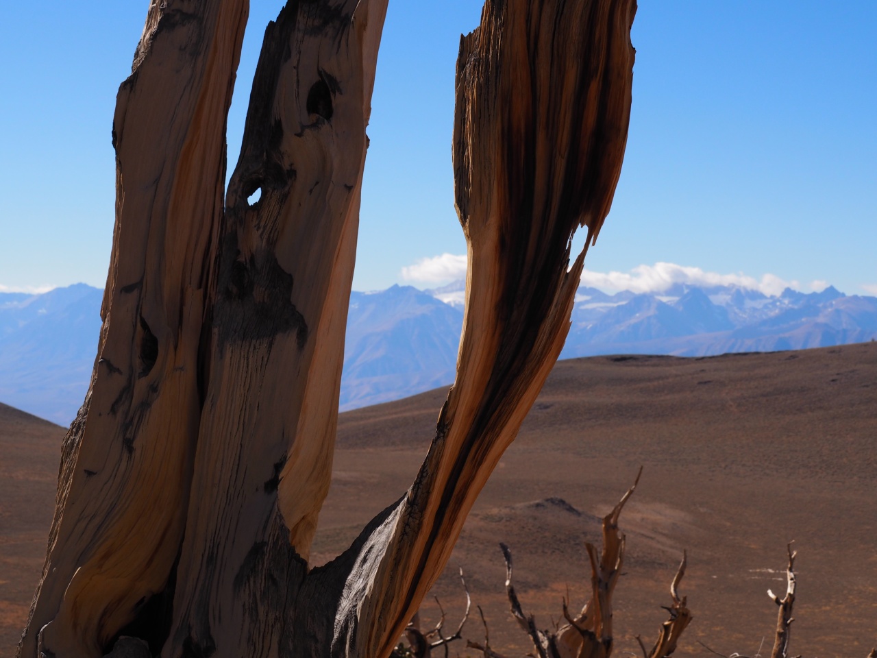
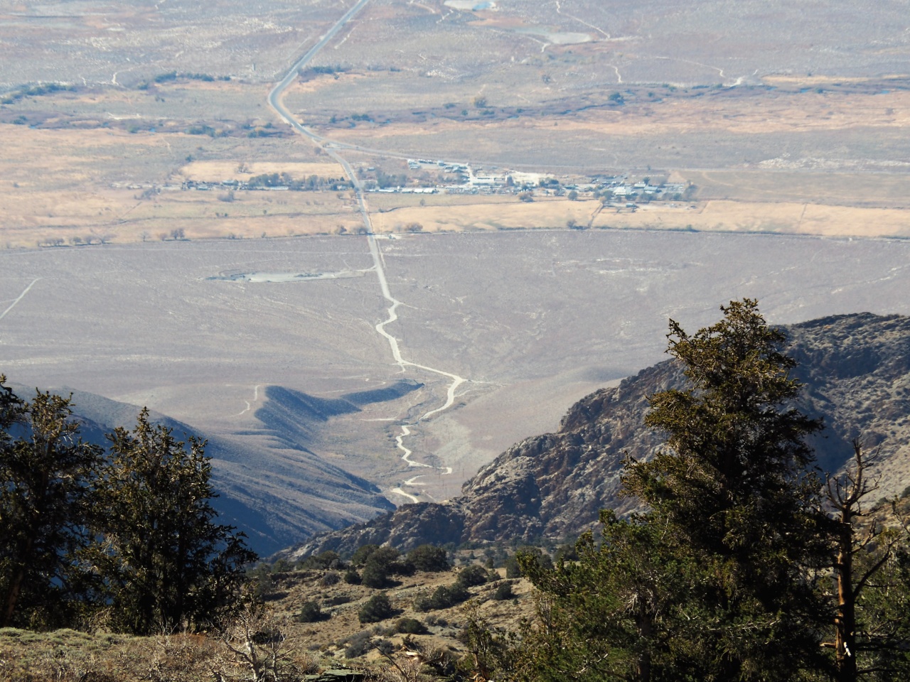
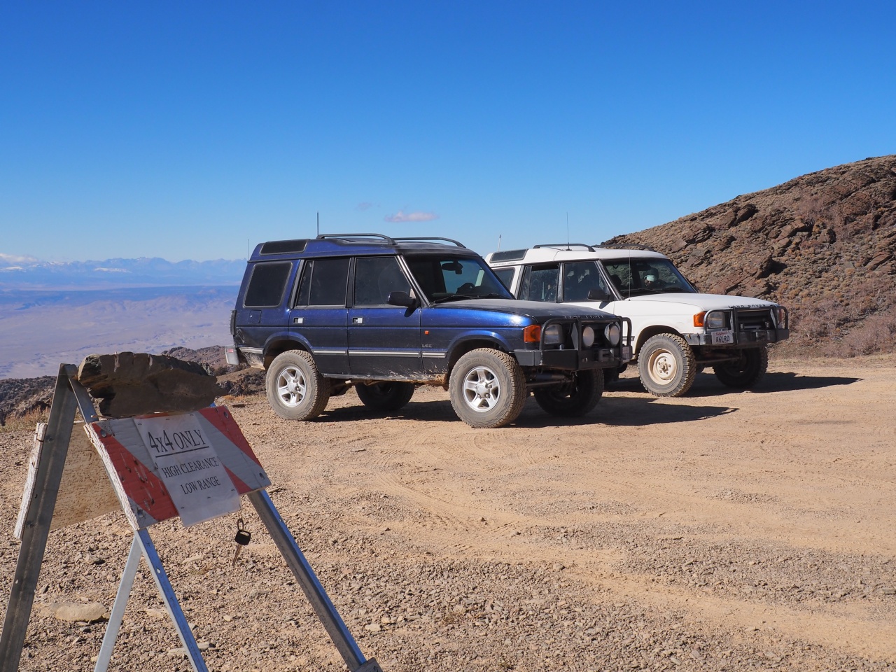
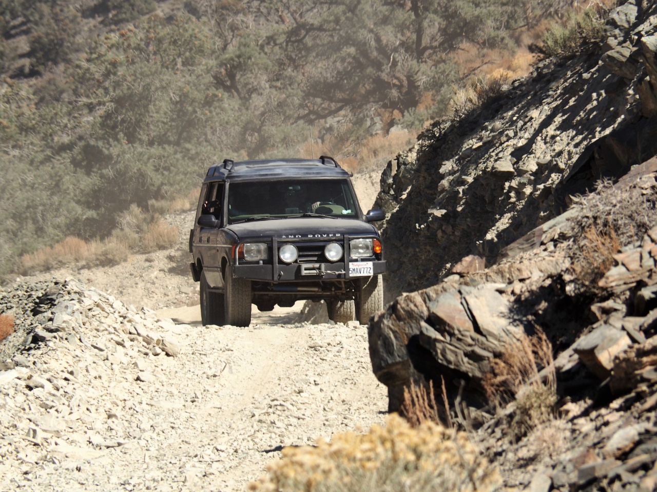
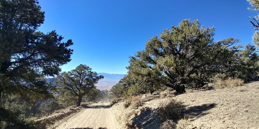
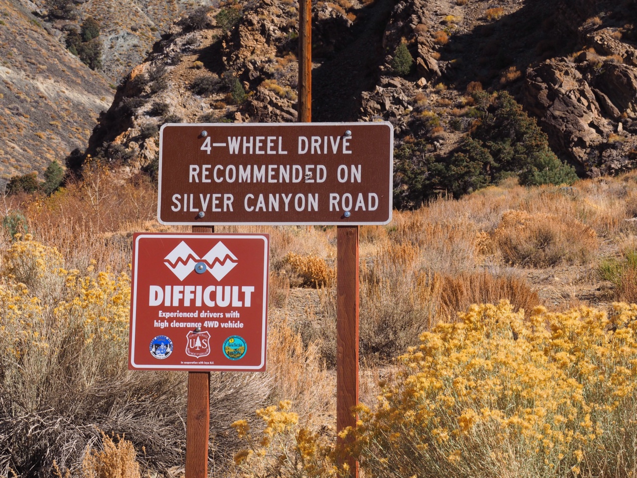
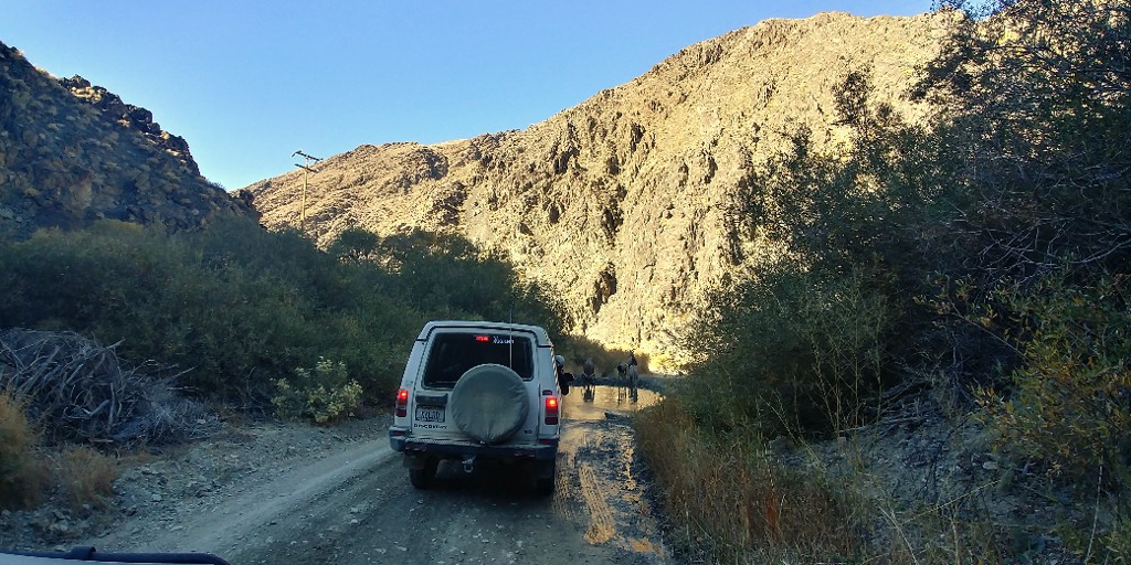
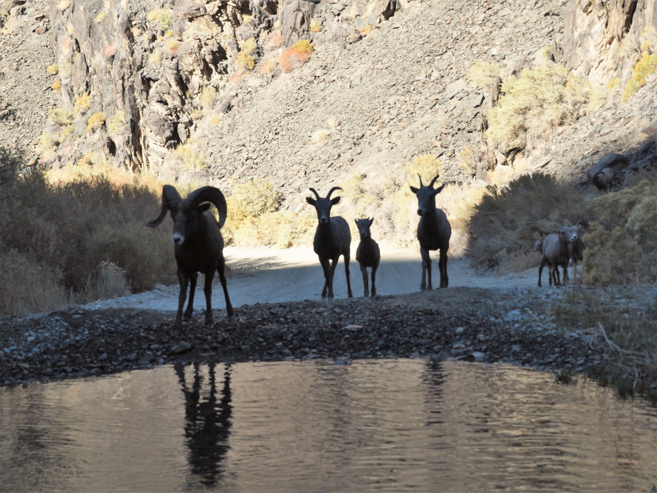
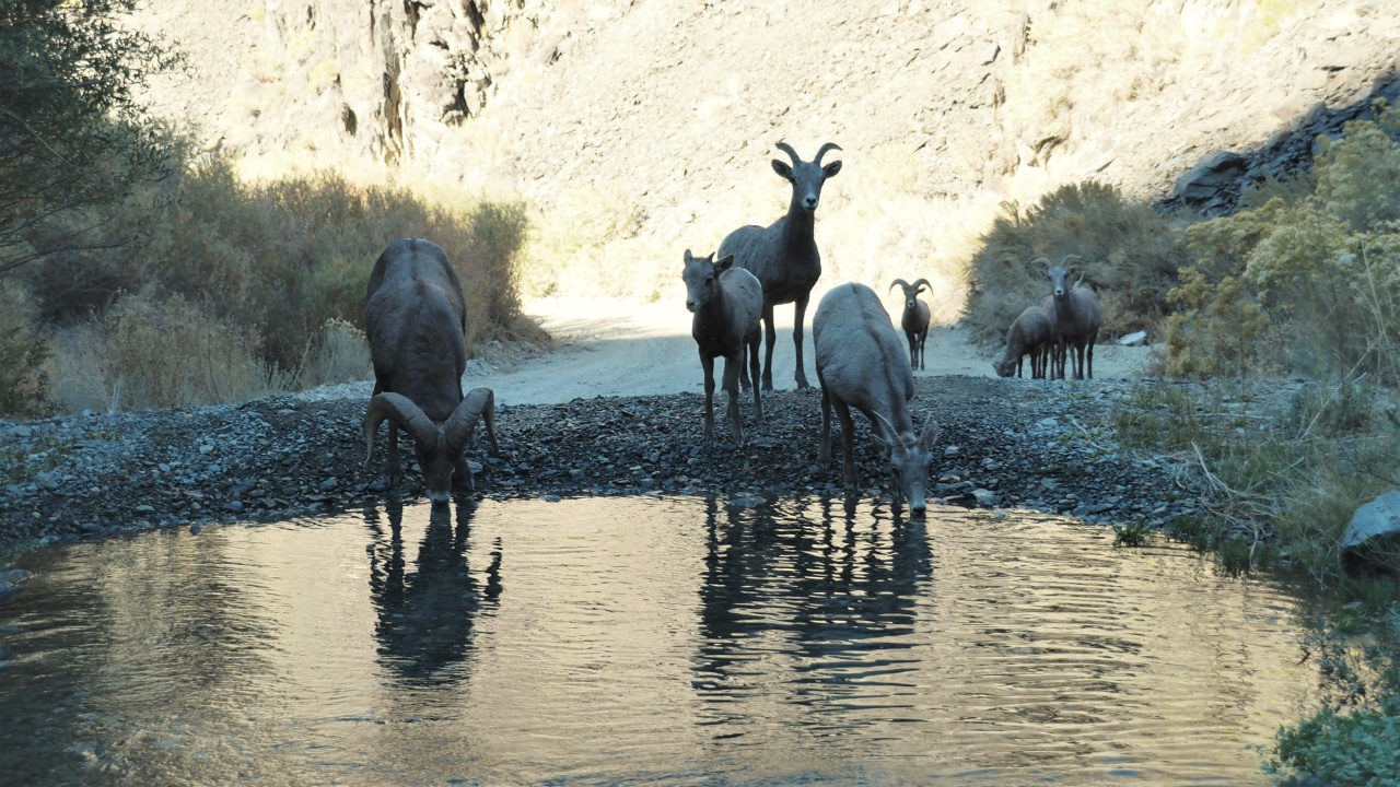
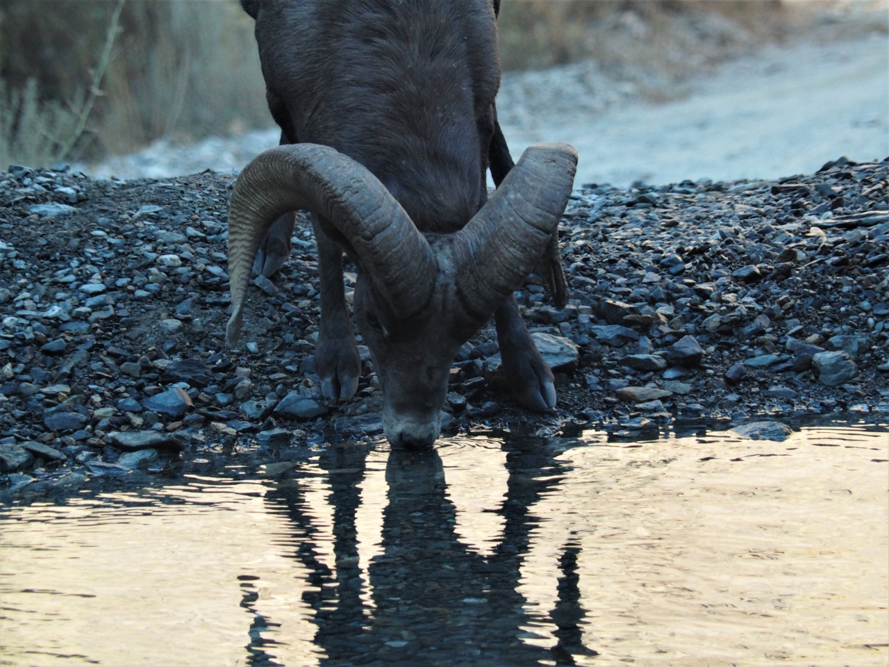
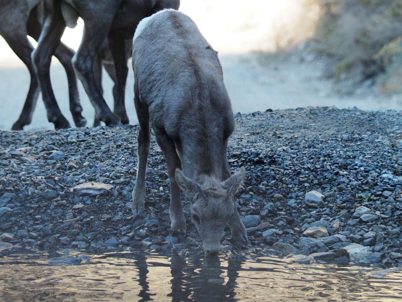
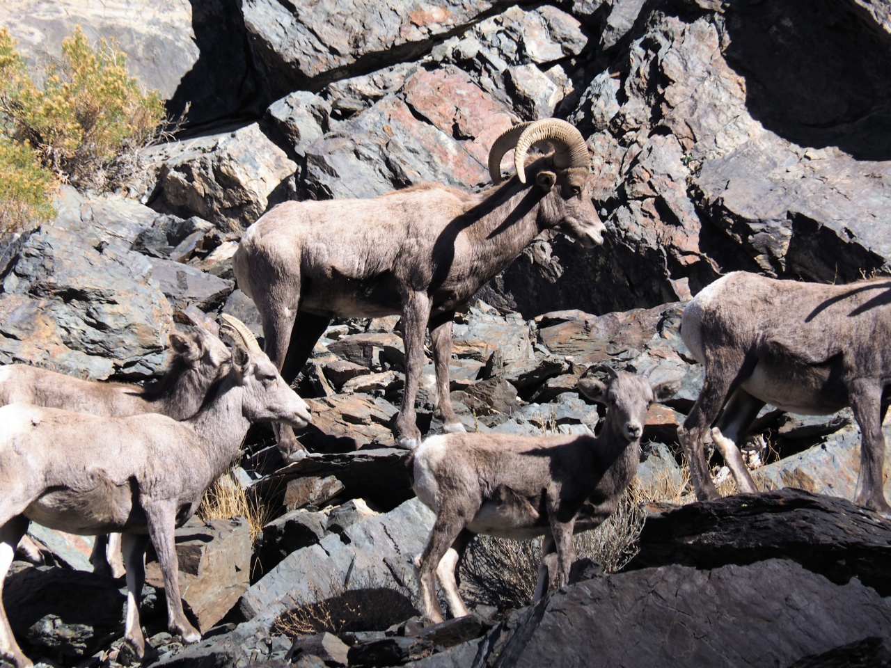
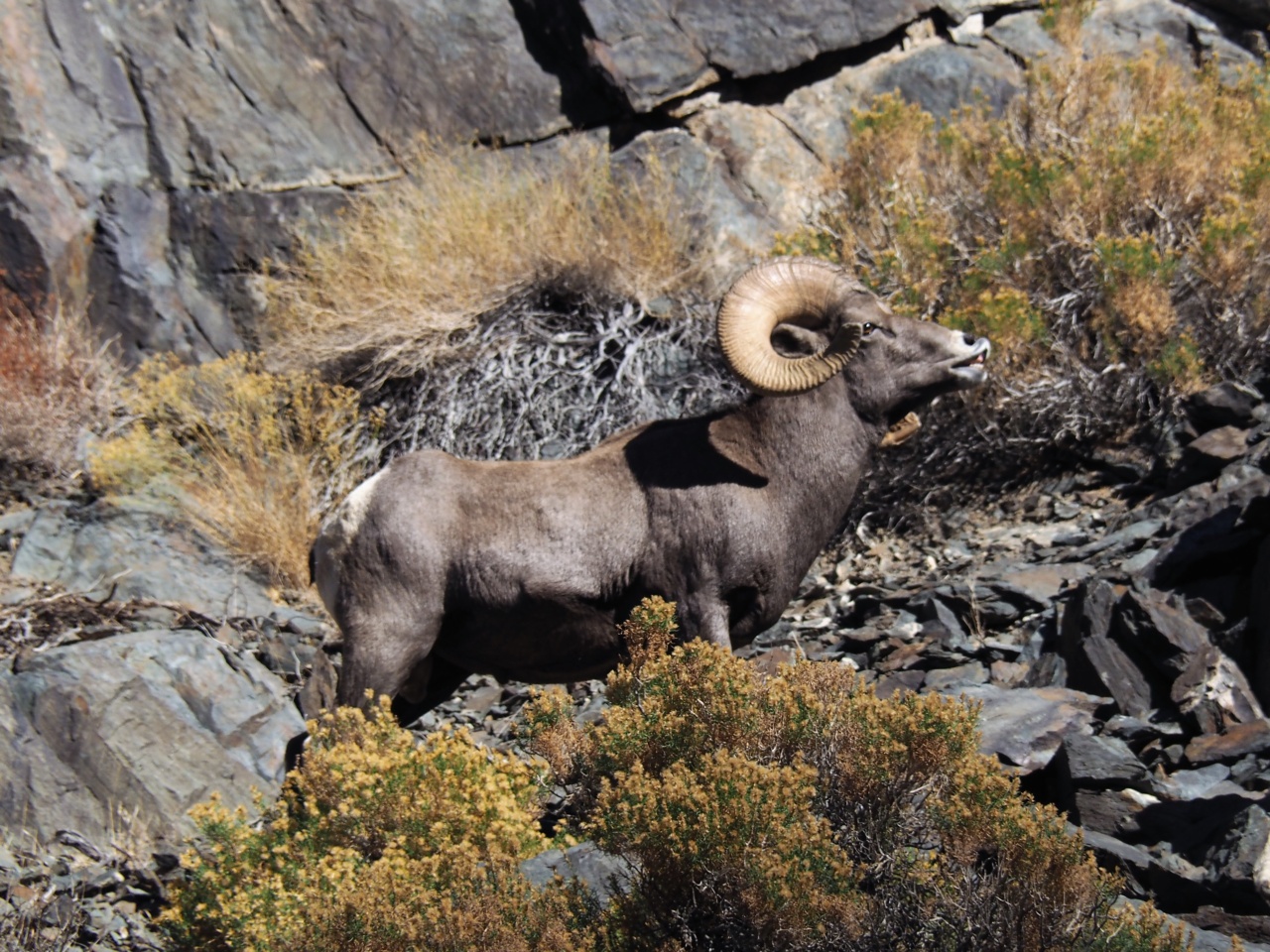
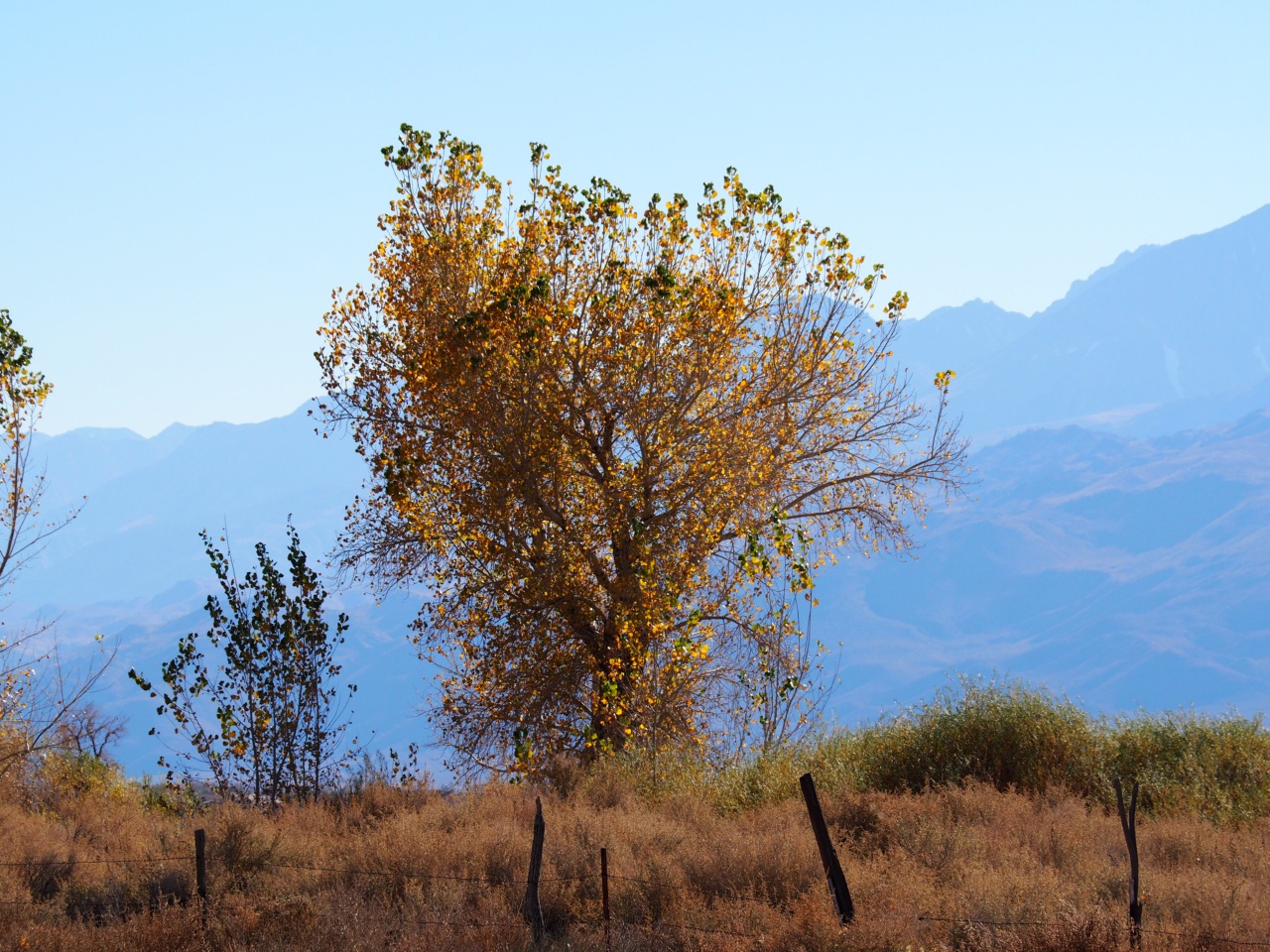
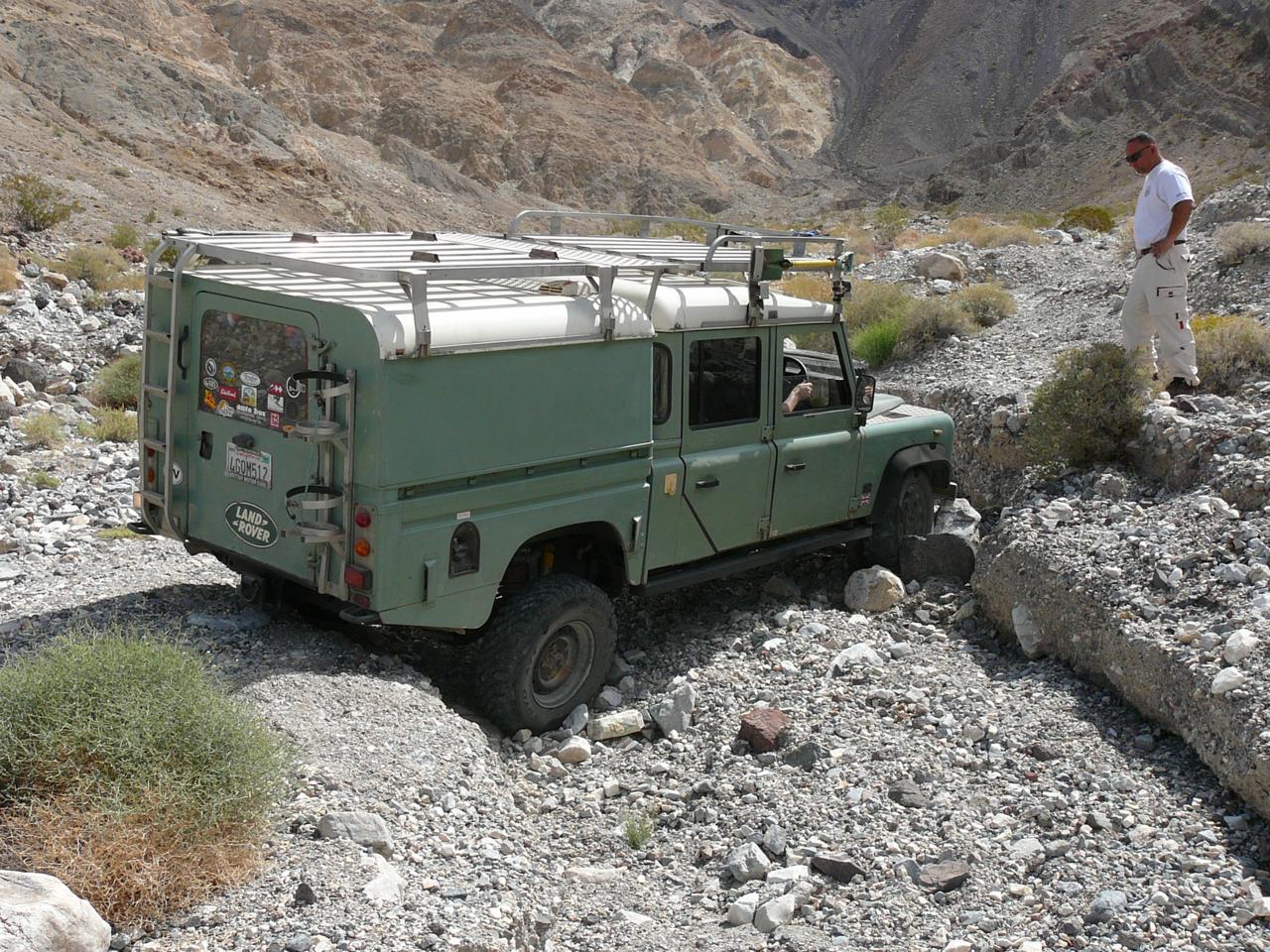
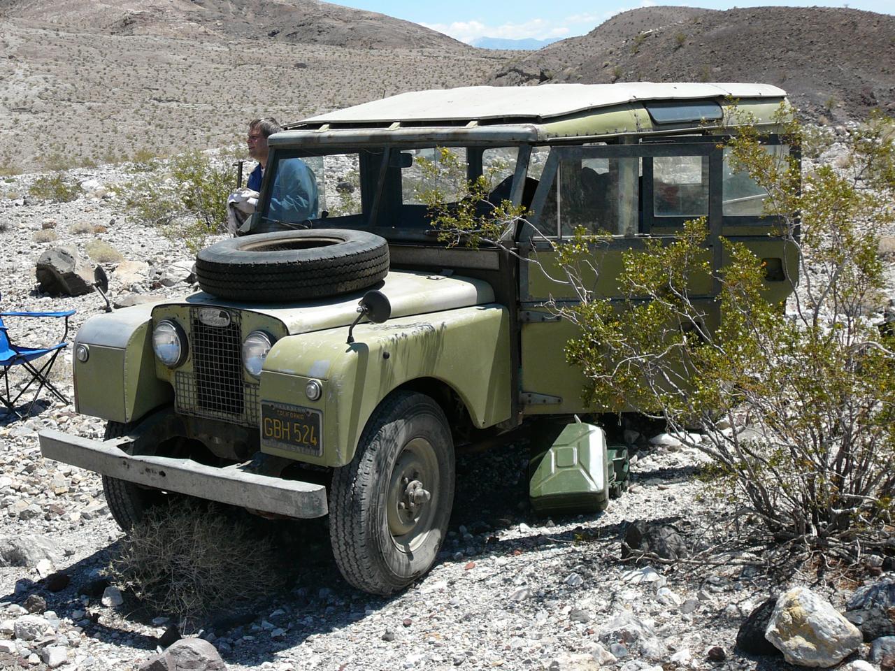
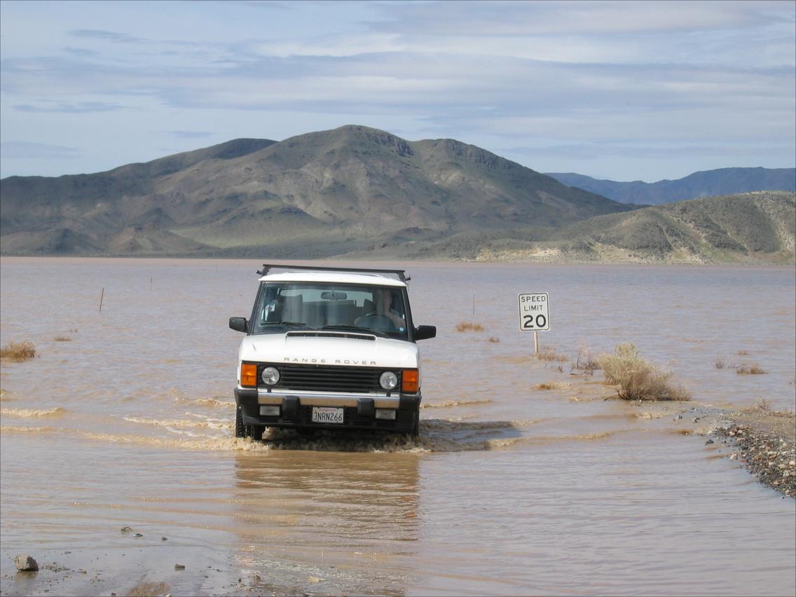
Here are some photos from our past trips to the Valley:

P1000993a.jpg


P1010018a.jpg


P1040160.JPG


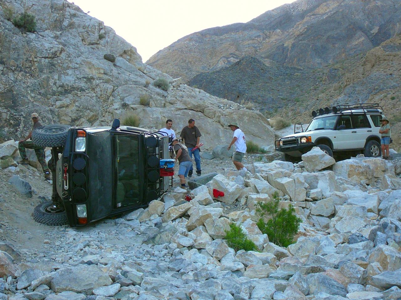
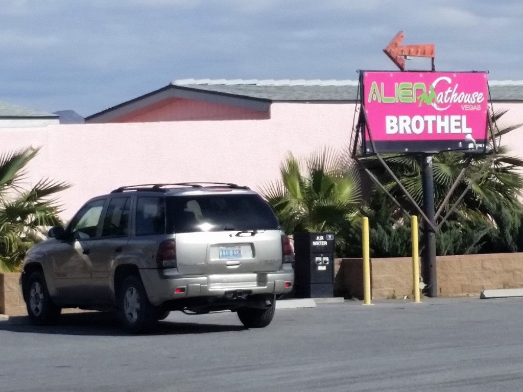
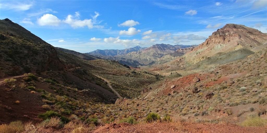
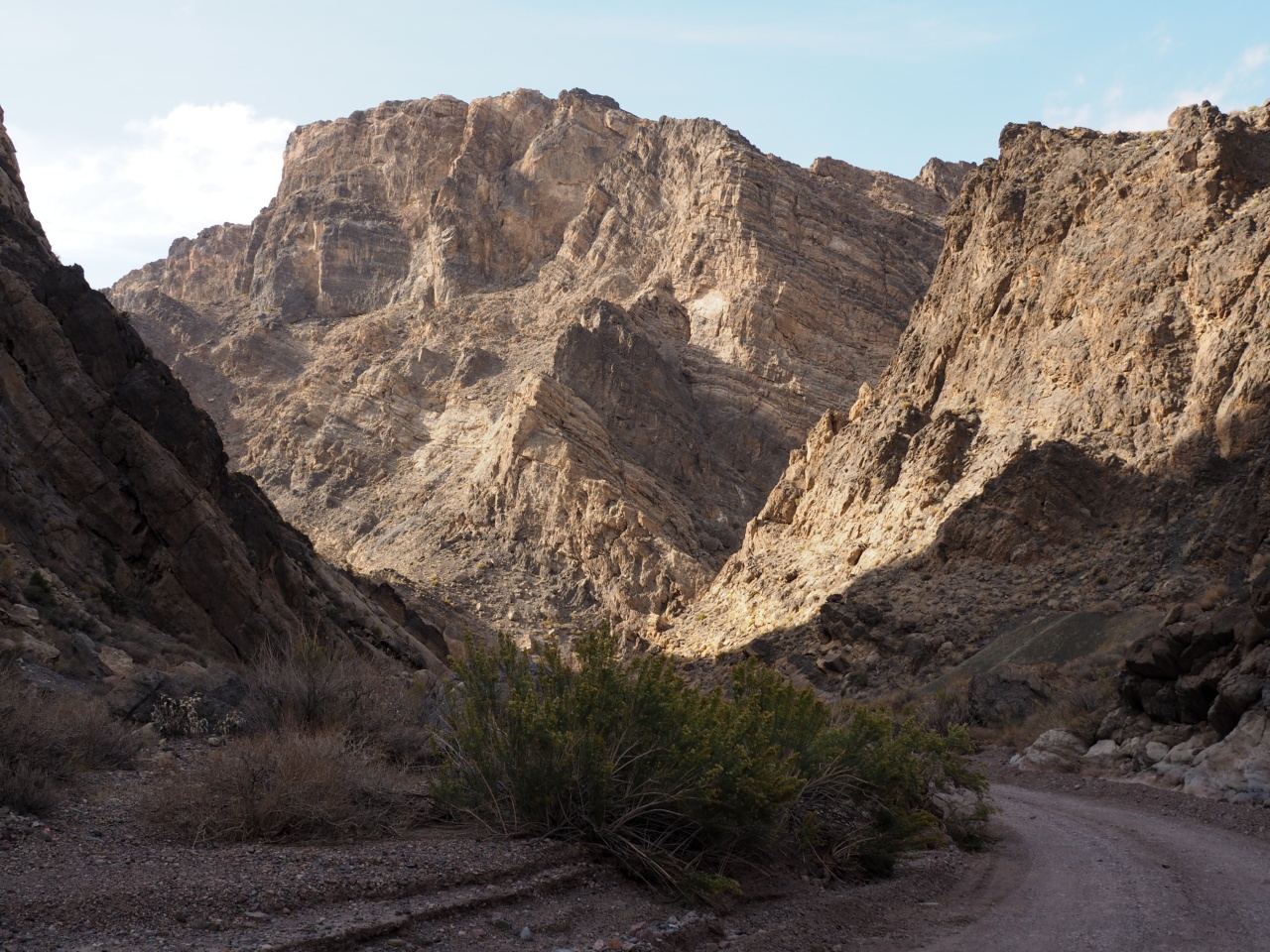
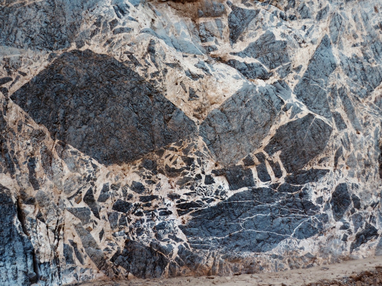
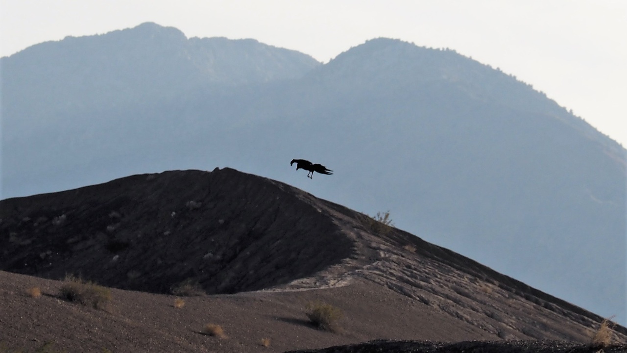
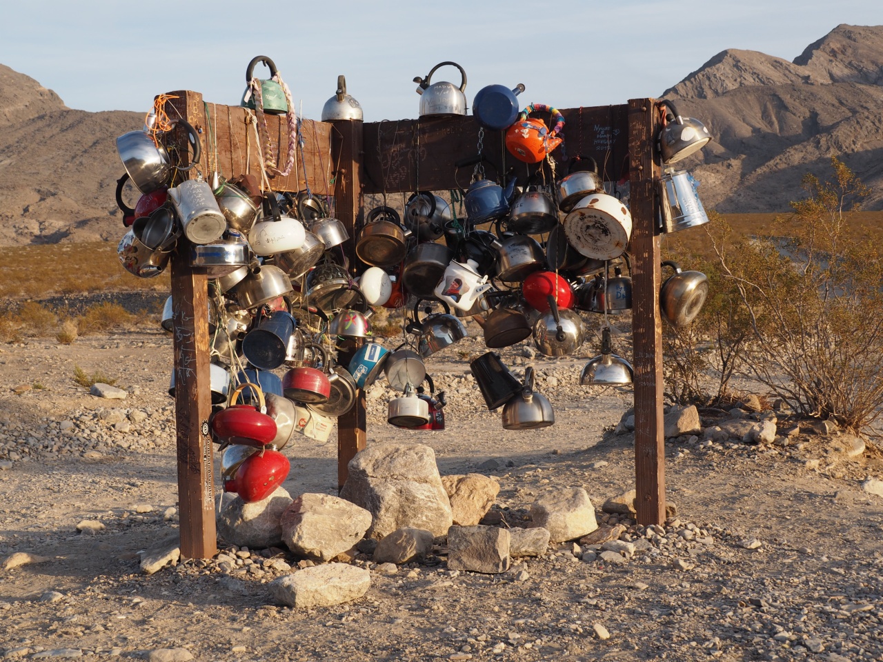
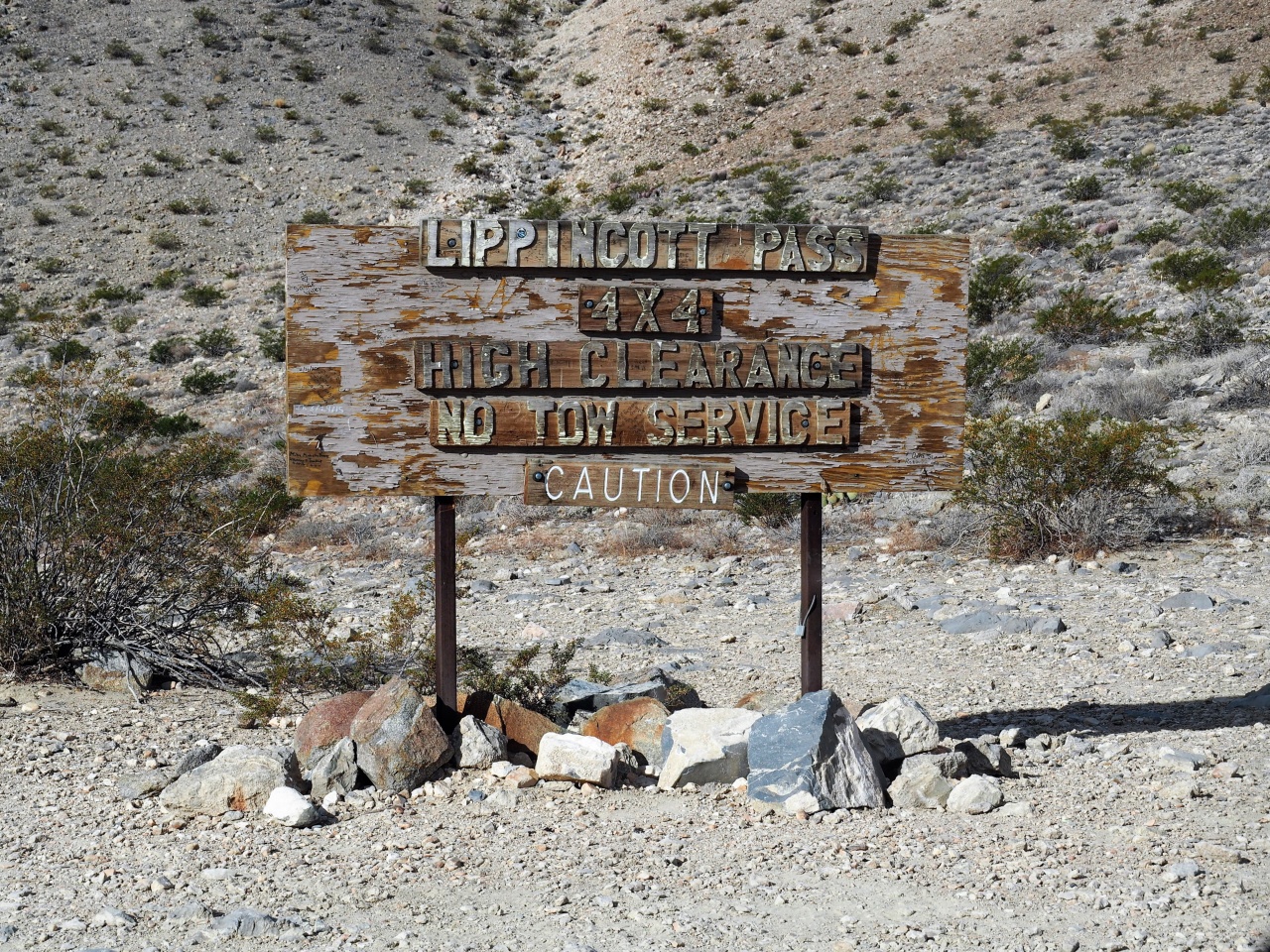
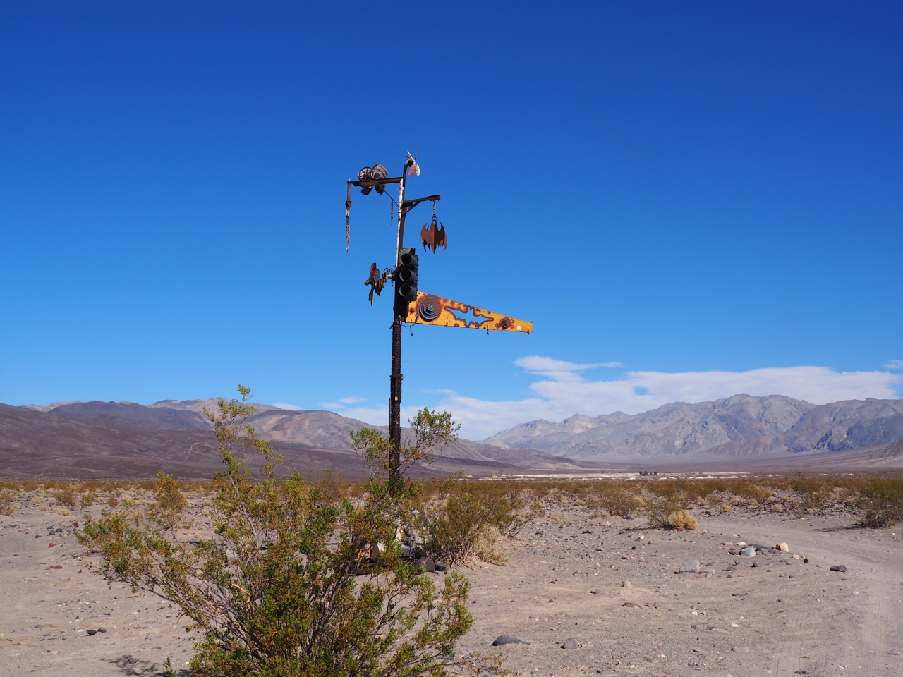
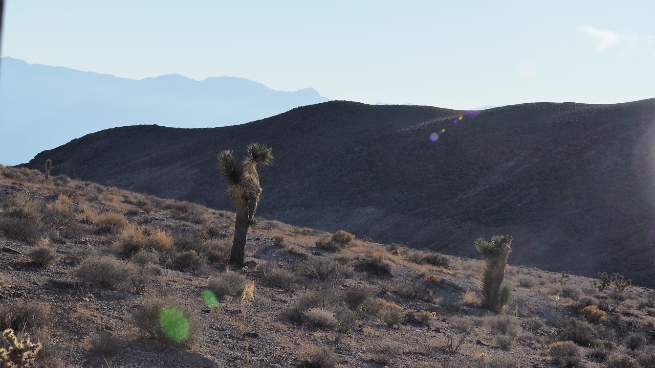
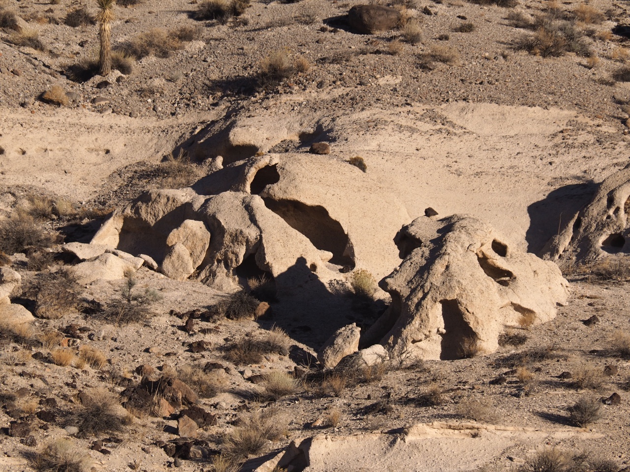
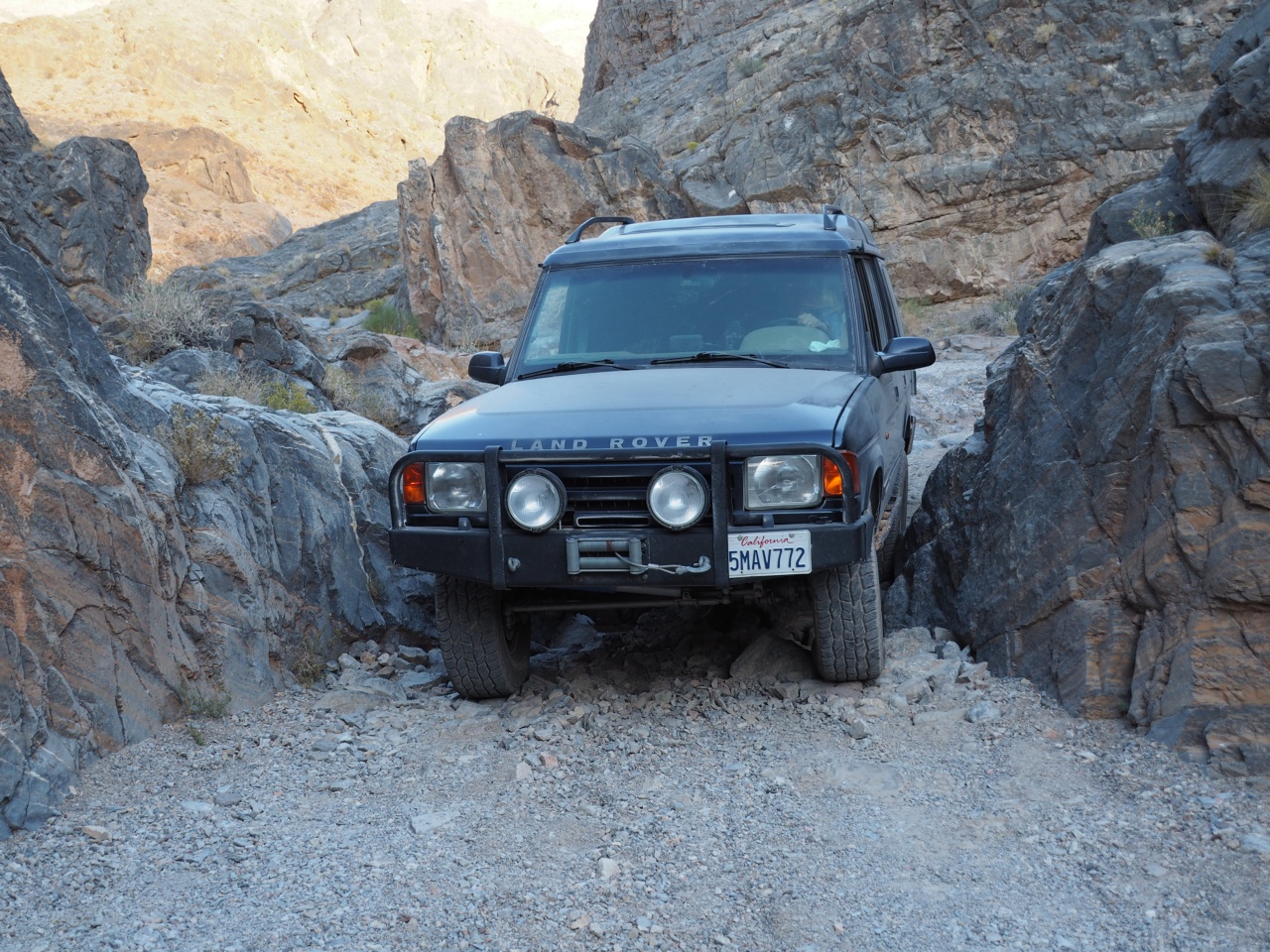
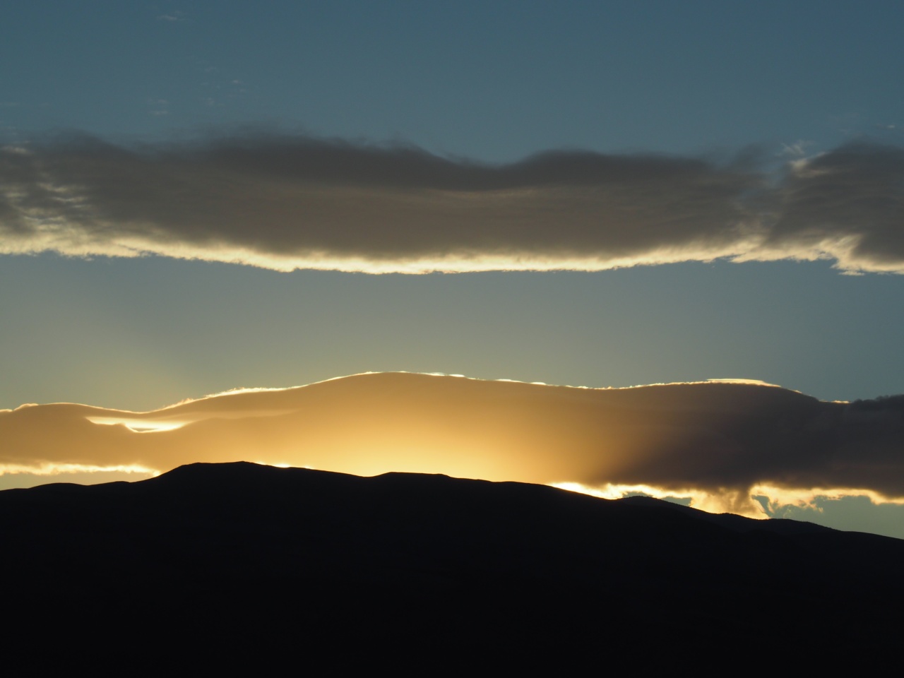
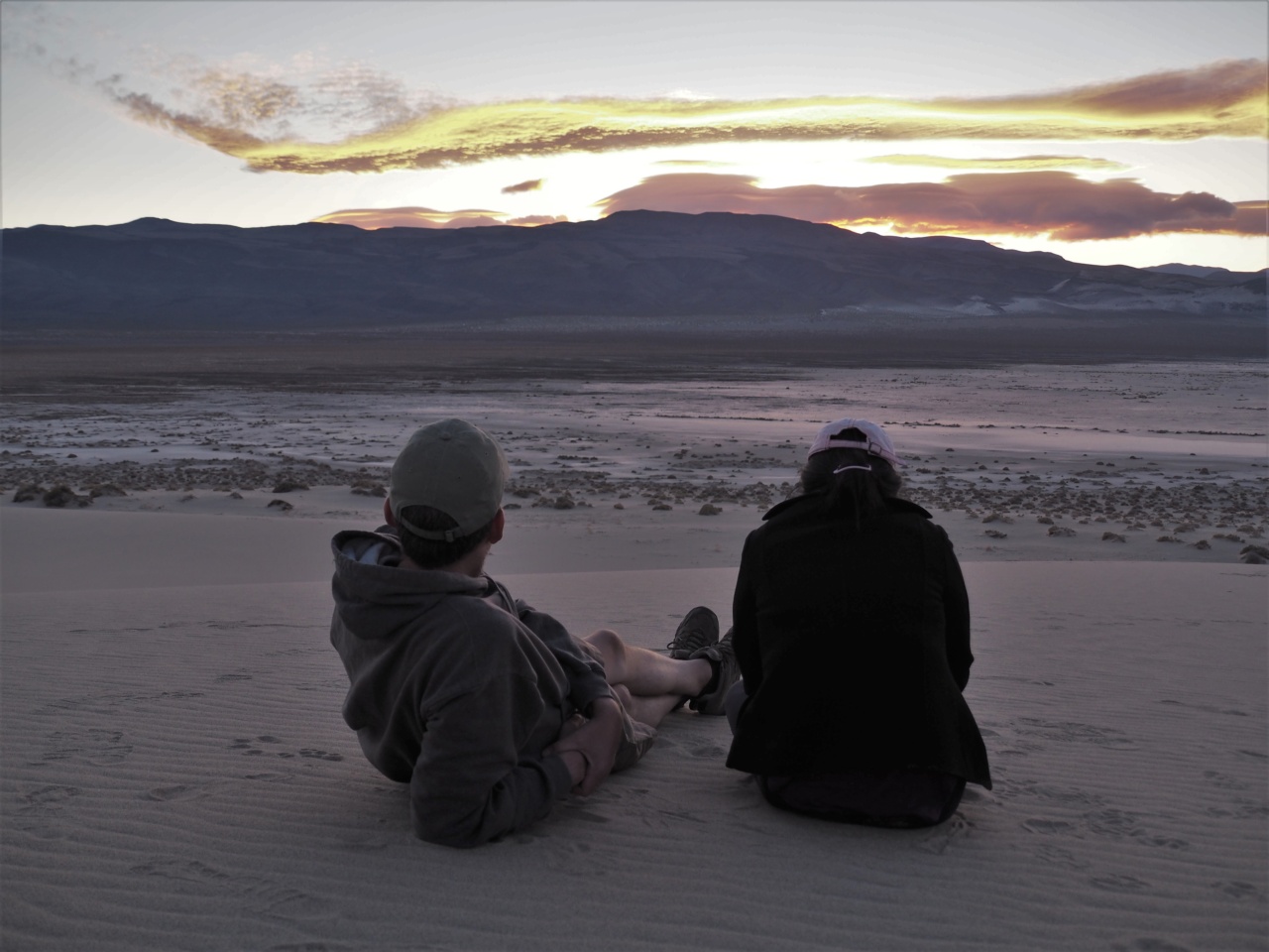
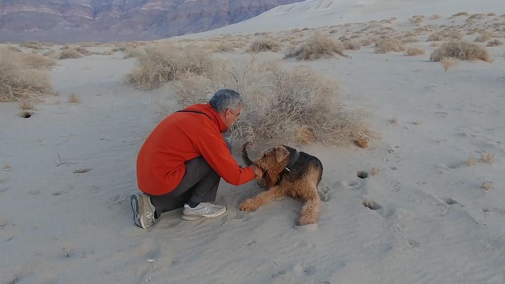
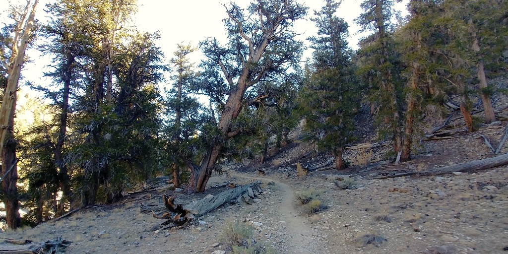
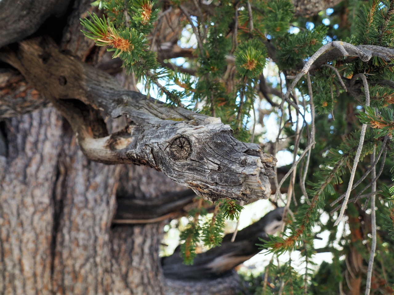
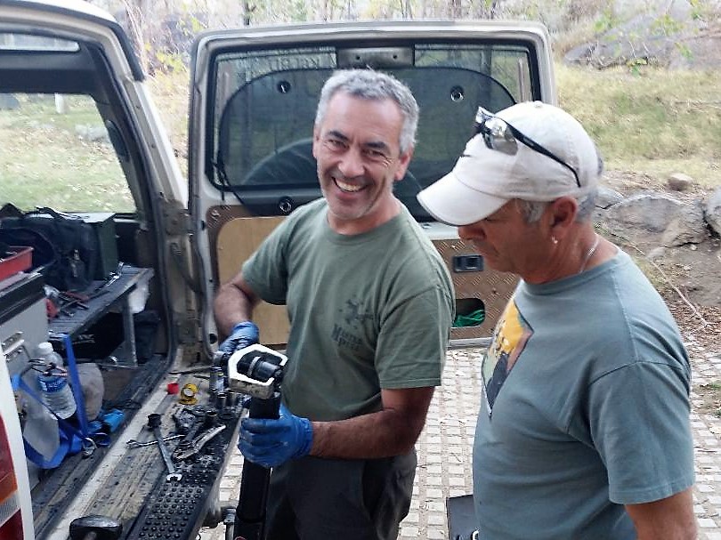
This, by the way, was also in Death Valley:
IMG_0863a.jpg


To sum it up... Of course, help will eventually come to the owner of a satellite beacon or telephone or a ham transceiver. But if you don't have any of that, you need to ask yourself a few questions - do I know well where to hike should things break? Am I in a good shape, physically or equipment-wise, for a twenty-five to thirty-mile hike? Or do I have enough stuff to keep myself alive until somebody else shows up?

Death Valley should be treated with respect.

Enough of a rant.
 

pmatusov

Technical Excellence Contributor
Callsign: AK6PM
As we are making our way North towards Beatty, we decide to make a stop at the Area 51 gas station / store and extras.

If you haven't heard of it, read up on Area 51. UFO- and alien-related conspiracy theories abound, and they spun up a little cottage industry with an "alien" twist.

A gas station store, flush with alien-theme souvenirs of all kinds, smoothly progresses into alien-theme restaurant, which, in its turn, progresses to alien-themed brothel. Bits and pieces of advertisement promise truly extraterrestrial enjoyment at the latter establishment.

20171103_115136.jpg


20171103_115201.jpg


Right next to the Area 51 sprawl there's a giant billboard advertising Dennis Hof for legislature of Silver State. Dennis is somewhat of a celebrity in the state, owning seven brothels (including Alien Cathouse here) and being a staunch advocate of lawful sex trade.

On the opposite side of the "Area 51" oasis there's a fireworks store, allowing to let them loose right there. Indeed, there's little to burn around the place, maybe except for the gas station.

20171103_120810.jpg


There's a multitude of reasons making us to skip extraterrestrial fun, and we really don't need any alien-themed souvenirs or even gas. We skip our urge to shoot fireworks between the gas pumps as well, and opt for cold beer from our fridges.
Then, we're off to Amargosa.

The famous Amargosa Opera Theater (with shows running every Friday and Saturday night!) is closed for visitors, and the next tour is a full hour away. We head out North on U.S.95 to Beatty.

Beatty, Nevada

In Beatty I take Matt to the site of the airplane crash by the entrance to the defunct "Angel's Ladies" brothel.

The story has it that in 1978 the owners of the brothel were looking for creative ways to spice up the attendance, and organized an airdrop of courtesan ladies on parachutes off a twin-engine plane. The pilot was understandably distracted by the passengers, and somehow managed to belly-land the plane right near the entrance to the establishment. Miraculously nobody was seriously hurt, and the management decided to keep the plane on premises as a side attraction.

The establishment survived in business until 2014.

DV034476.JPG


At the gas station in Beatty I am ready to fill the jerry cans - we have two between us. The hardware store nearby is closed, and we take a walk across the street to check the vast collection of military gear for sale. Gas cans are represented by one rusty piece, with a laughable $90 price tag Sharpie'd on the side. We ogle a trailer with three Mules on it, apparently brought over from China Lake NAWS:

20171103_131215.jpg


A Mule would not be a bad 4x4 to have around.

Our next stop is the ghost town of Rhyolite.

I took my sweet time walking around the attractions in Rhyolite during my previous
voyage to Nevada, so I don't even bother getting out of the truck. Andrey, Thao, and Matt take their fill of photos.
Here's the old railway station:

20171103_133217_HDR.jpg

Photo by Thao Bauer

And this is the house built out of empty wine and liquor bottles:

20171103_132832.jpg

Photo by Thao Bauer

Once all were happy with the photos, we sail out towards Death Valley. The turn-off to Titus Canyon is in a couple of miles; we stop and air down - not as much for comfort as for bits and pieces staying together with our trucks. I reset the odometer button and mentally add about 6 miles to the count.
We are not alone on the road - there's a steady trickle of visitors.
 

pmatusov

Technical Excellence Contributor
Callsign: AK6PM
Titus Canyon

The road crosses the valley and begins a gradual climb. Soon the washboard yields to much nicer, even if a little rocky, road surface. We gain about 1500 feet in elevation from Rhyolite to Red Pass.

At the pass a beautiful scene opens up. We have to stop and take photos.

20171103_143156.jpg

Photo by Thao Bauer

DV034504.JPG


In a few miles we begin seeing mineshafts and remnants of buildings of yet another ghost town of Leadfield, already back in California.

Wiki says that the town's brief existence spanned from 1925 to 1927, with only six months between the population peak of 300 souls to closing of the post office. Remarkably, one of the reasons for the population boom was great but very false advertising - including posters showing steamboats arriving to Leadfield by Amargosa River. That would indeed be spectacular - the water in (mostly dry) Amargosa River would have to rise about 1200 ft to flood most of Death Valley and reach Leadfield.
Too bad I couldn't find any pictures of these posters.

DV034510.JPG


20171103_145124_145139.jpg

Photo by Thao Bauer

As we move on, the canyon walls begin to close in.

DV044517.JPG


DV044520.JPG


DV044523.JPG


DV044530.JPG


DV044532.JPG


DV044538.JPG


Andrey, our resident geologist, swivels his head all around, and shows me all sorts of stuff in nearly-vertical walls and uses a lot of unfamiliar terms. Most of them are followed by superlatives, often unprintable for additional emphasis.
 

pmatusov

Technical Excellence Contributor
Callsign: AK6PM
All of a sudden the radio wakes up and speaks with Matt's dynamic-range-compressed voice. Matt inquires whether what we're seeing is an anticline. I am impressed, Andrey is as well. He peeks outside, and comments that it looks more like a monocline. I pass the info back to Matt. We stop to take photos more and more often.

20171103_145624_HDR.jpg

Photo by Thao Bauer

20171103_150124_HDR.jpg

Photo by Thao Bauer

The rocks outside indeed become fascinating.

DV044543.JPG


DV044546.JPG


20171103_153913.jpg

Photo by Thao Bauer

The canyon walls spread out all at once, and we're in the Valley proper.

20171103_154337_HDR.jpg

Photo by Thao Bauer

We have lost about 3600 vertical feet since Red Pass - without even realizing it. Andrey The Geologist notes the size of the alluvial fan at the base of the canyon - the volume of the fan is usually representative of the volume of the canyon it came from. An estimate using Google Earth gives this volume to about 0.4 of a cubic mile - impressive indeed.

Ubehebe Crater

We reach pavement in about 10 minutes, turn North, and enjoy the quiet ride for about 25 miles to the turn-off to Ubehebe Crater. Andrey tells me that the place is so windy that the local crows don't even need to flap their wings to stay airborne, and they just hover near the rim of the crater.
The crater is exactly as he described, complete with an airborne crow.

DV044553.JPG


20171103_162007_HDR.jpg

Photo by Thao Bauer

Jules the Airedale does not appreciate his beard being blown off to the side, and is ready to continue the trip after only the briefest survey of the crater.

DV044569.JPG


Our next destination is the Racetrack Playa - if you haven't heard of it, it is a dry lake bed, where the rocks race each other on the surface to no particular destination. The Racetrack is about 25 miles away, along some of Death Valley's ugliest washboard. You just can't pick the right speed - when your tires seem to float over one spatial period of the washboard, they get hit badly by the other.
Matt conveys his feelings with thinly-disguised unprintables on the radio. We should have aired down more.

A little more than an hour of torture sees us at the Teakettle Junction. I feel guilty of not having a spare kettle to hang onto the boards; Andrey says he's left enough of those in his past forays to the Racetrack. The road to Hunter Mountain tees off from the one we're on. I should include Hunter Mountain in the next Death Valley trip...

DV044575.JPG


DV044577.JPG


We see a bright sun dog before it gets darker.

DV044572.JPG


People from two on-coming vehicles mention someone in bad need of jumper cables at the Racetrack.
 

pmatusov

Technical Excellence Contributor
Callsign: AK6PM
Racetrack Playa

We are at the Racetrack already after sunset. At the small parking area near the south-western "end" of the Racetrack, there's a diesel Ford Excursion with the hood up. It is attended to by its owner using all of his available tools: a Leatherman and a headlamp. The headlamp's battery also keeps most of the electricity available to the mighty Ford and its inhabitants (including a boy aged 8 to 10). Both Excursion's batteries are thoroughly dead. The fat hose from the air filter housing to the intake is disconnected and dislodged, apparently due to the washboard.
We start with out wonderful gadgets - you know, these lithium batteries barely larger than a cell phone, claiming nearly one-half of the amp-hour capacity of these big heavy things under the hoods of our trucks. We are suckers for advertisement almost like the people who moved to Leadfield - so we try to fire up the Ford.
Apparently, it is a little harder to jump-start a 7.3-liter diesel than our dinky 4-liter gas V8s. The diesel stays still. The starter relay shuts off the moment it attempts to connect the starter coil to the battery.
Out come my long, fat, and heavy jumper cables - with enough current capacity to run a small welding shop. The diesel turns, but doesn't catch.
I jam a wood chip under the throttle stop of my Disco, and keep the truck at fast idle for almost 20 minutes. The Excursion owner, in an attempt to reconnect the air duct, proceeds to take off another and unrelated hose clamp. He's on the fence - should they spend a night in the truck ("we have a blanket!") or punch the expensive button on their satellite beacon. We talk him out of it, and into making yet another attempt.
Miraculously, the Ford fires up; we make the owner swear he won't stop until he reaches a service station because he won't start his engine again (wonder if he has enough diesel fuel left for 70-80 miles to the closest gas station?).
Finally, we take our time to check out the Racetrack before it gets very dark.

DV044582.JPG


The moon is full, and it gets brighter when it comes out from behind the mountains.

DV044593.JPG


We really should find a place to camp - camping near Racetrack is not allowed, and the nearest spot is the Y-intersection up the valley where Lippincott Pass road takes off.

DV044602.JPG


The moon emerges clear out of the clouds, and paints everything in eerie bluish colors.

DV044607.JPG


Andrey explains to us that our photographic equipment is not equipped for nighttime photography, and there's no reason to go back to Racetrack until the morning. We set up the camp, heat up beef stew made by Thao back at home, and pour in the Bourbon.
The life is beautiful.
This is the first time for Jules to sleep in a tent. He's unconcerned, and sleeps like a baby until sunrise.

Morning at the Racetrack

For many years and trips together, we argue with Andrey ("The Boss") about the rational wake-up time, whenever sunrise photography is concerned. Once he set up the alarm clock for 4:37 am (talk about precision!) - in Utah in mid-December. Fortunately, we get lazier as we get older, so we sleep in until six. And Matt was the first one to get up.

Jules does not approve getting up too early, but he doesn't argue. Yesterday's leftover beef stew is wonderful for breakfast; we strike the camp, and roll to the Racetrack by 7 am.

Andrey, the Racetrack veteran, takes off to the backside, towards the cliffs that produce the sailing rocks, at a very brisk pace. I lag behind, Jules enjoys running back and forth between us. Here they are, the rocks.
For some reason I thought that all of them sail in the same direction - nope, they go every which way, change directions, and occasionally take the reverse tack altogether.

DV044629.JPG


Matt and Thao catch up. The sun barely kisses the mountaintops.

DV044632.JPG


20171104_073305.jpg

Photo by Thao Bauer

Matt climbs the rocks on the other side, Jules has to follow.

DV044644.JPG


Looks like Thao likes it here!

DV044645.JPG


DV044636.JPG


DV044663.JPG


DV044673.JPG


The Sun is almost above the mountains - just the right time to take ones' shadows when they are quarter a mile long!

20171104_081114.jpg


For the reference: with the geographic sunrise time barely past 7 am, the most-scenic time is a brief period between 8 and 8:10 am. The shadows move and change at an incredible pace, and whatever wasn't noticeable a minute ago may light up at any moment.

DV044684.JPG


DV044693.JPG


That's about it; time to hit the road.

DV044695.JPG


DV044696.JPG
 

pmatusov

Technical Excellence Contributor
Callsign: AK6PM
On the way past our campsite we are greeted with the sign:

Lippincott Pass

Looks like we have all we need, and hope we won't need the tow service.

DV044697.JPG


Lippincott Pass is a shelf road, generally pretty good in quality. Four wheel drive with low range and ground clearance does help to clear occasional rocks, and not to rely on brakes going downhill. The road loses about 1900 feet in elevation in a little more than four miles going into Saline Valley.

DV044699.JPG


DV044712.JPG


DV044722.JPG


Thao and Matt are enjoying the road and the views.

DV044728.JPG


20171104_102808.jpg

Photo by Thao Bauer

Andrey is happy, too; he is behind the wheel, and gets frequently distracted by various geological artifacts, including the silver ore veins.

DV044724.JPG


DV044720.JPG


Near the valley floor I begin hearing some new rattle from somewhere in the back. After a brief argument I convince Andrey to pull over, get under the truck and survey the underpinnings.
The survey does reveal something: the stud of the five-months-old rear OME shock absorber broke cleanly off the top eyelet mount. The only way to proceed is to take it off, and adjust our driving habits to the new dynamic.

20171104_103858.jpg

Photo by Thao Bauer

20171104_105039.jpg

Photo by Thao Bauer

Jules doesn't look happy, but he doesn't yet know why.

20171104_105235_HDR.jpg

Photo by Thao Bauer

20171104_105305_HDR.jpg

Photo by Thao Bauer

It only takes a few minutes to yank the broken shock. I nudge Andrey from the driver seat and try to pick a compromise between washboard rattle and asymmetric sway. We descend into Saline Valley and take a right turn to the North - towards the warm springs.

In about ten or fifteen minutes of washboard I spot a group of bikers - one of them waves a hand at me, and stops right in front of the Disco. Dan Kemper and I manage to meet - this time he is not driving one of his Defenders, but riding a KTM bike. One great advantage of a Land Rover in a desert becomes obvious - when cold beers are retrieved from the fridge. It is close to noon, so the refreshment is timely and welcomed. We chat a bit, including Dan's experience with disintegrating OME shocks.
Since the guys are riding along largely the same route as us but in opposite direction, we share our impressions.

We spread out to allow an "overland vehicle" to pass - a four-wheel-drive full-size Iveco truck with German plates, portal axles, giant camper box, and "For Sale" sign in the window. We chuckle at a thought of this truck making it through the trails we've been on and planning to be on.

20171104_114347.jpg

Photo by Thao Bauer

20171104_114321.jpg

Photo by Thao Bauer

It is time to part our ways - the guys are headed to Lippincott, we are going to the warm springs with a lot more plans for the day. In about 10 or 12 miles, we hit the right turn towards Saline Warm Springs. The washboard is replaced by incessant whoop-de-doos, which are horrendous without a shock. Poor Jules is trying to keep his balance in the back.
But the springs are close!

DV044730.JPG


We skip the lower springs, only responding by hand waves to the good-looking girls dressed only in sunglasses.

One of the upper tubs is freshly drained for cleaning. The other is populated by a few guys and a girl - lacking shade, some of them are more dressed-up (meaning hats). Everyone is very nice and friendly.

Too bad we can't take photos, so an older one has to stand in.

P1220222A.JPG


This tub, too, is slated for drainage and cleaning. We beg the volunteer cleaning crew (the guys in the tub) to hold it off for half an hour or so, take a shower, and jump in the tub.
I have to say that a super-clean, warm, unlimited shower in the middle of the desert makes even more of an impression than the tubs.
 

pmatusov

Technical Excellence Contributor
Callsign: AK6PM
After a quick lunch in a quickly-moving shade of a palm tree, we hop back into the Land Rovers and take a rocky road towards Steel (or Steele?) Pass. The road is a wash in the middle of a giant lava field.

DV054734.JPG


DV054735.JPG


The road keep climbing and eventually reach some sort of a plateau. We gain more than 3000 feet in elevation by the time we reach the pass. Some bizarre rock features appear - arches, teepees, caves.

DV054739.JPG


DV054743.JPG


DV054742.JPG


We miss the pass, and only discover that the road begins its descent into Dedeckera Canyon later.

DV054749.JPG


Soon, in a gap between the canyon walls, we get our first glimpse of Eureka Sand Dunes.

DV054750.JPG


Finally, the road reminds us why do we drive our trucks - the descent becomes a lot steeper, with two-foot shelves and rocky stretches. We need to hurry a bit - the sunset is nominally around seven, but the Sun will disappear behind mountain range on the West a lot sooner.

DV054755.JPG


DV054756.JPG


DV054758.JPG


The road is fairly narrow in places. Anything wider than a jeep or a Land Rover would require at least very careful choice of lines and tire placement.

DV054762.JPG


20171104_165513_HDR.jpg

Photo by Thao Bauer

20171104_170239_HDR.jpg

Photo by Thao Bauer

20171104_170308_HDR.jpg

Photo by Thao Bauer

We may be losing our race to sunset...

20171104_165948_HDR.jpg

Photo by Thao Bauer

The canyon walls open up, we see the Dunes in their entire magnificense. We are still about five miles from the Eureka Dry Camp, and we realize that we won't make it there before sunset.

20171104_171017_HDR.jpg

Photo by Thao Bauer

DV054767_54778.JPG


The orange sun rays paint the mountain slopes on the East through the gap between the clouds and the mountaintops.

DV054787_54789.JPG


DV054793.JPG


DV054796.JPG


We're at the Dunes. The Sun is down, and everyone seems to be worn out - even Jules, though he still has enough spunk to growl at my attempts to pull the prickly stuff from his hair.

DV054808.JPG


DV054809.JPG


DV054816.JPG


20171104_174541_HDR.jpg

Photo by Thao Bauer

20171104_174033.jpg


We are back to our trucks, with shoes full of sand. Andrey takes the helm, and hammers it up Death Valley Road to Highway 168 and then - on to Big Pine. It becomes pitch dark by the time we hit pavement on Death Valley Road; I keep watching the fuel gauge moving to E - the road crests at nearly 7500 feet before dropping to Owens River Valley.
We grab two rooms in the first motel we see in town, and go to the gas station. We both use about 19 gallons (out of nominally 23.6-gallon tanks; mine is probably two gallons smaller due to a large dent in the skidplate). We made it, without having to use the jerry cans.

Time for a dinner; the only cafe open in town is Rossi's Place - we have pizza with some of Inyokern's Indian Wells' beer, and expire.
* * *
 

pmatusov

Technical Excellence Contributor
Callsign: AK6PM
The morning begins for me with a dog walk along the little back streets of Big Pine. If are fall colors anywhere in California, it is in Eastern Sierra Nevada.

20171105_065548_065552.jpg


Everyone gets up and we have breakfast at Country Kitchen. Get back in the trucks and drive back to 168, towards White Mountain Range. Highway 168 also passes through a slot canyon, with one lane available for traffic in both directions, with probably 100 feet warning of the oncoming traffic.
We take the turn to White Mountain Road towards Ancient Bristlecone Pines.

The road is one incessant and steep climb. Big Pine's at under 4000 ft, the turn-off to White Mountain Road is above 6000, and White Mountain Road starts off in a series of hairpin turns to reach about 9000 ft near the park ranger station. It continues on all the way to the point under an unassuming name of White Mountain - which is only 200 feet lower than Mount Whitney. Most of this road is gated off, and we don't plan on this detour.
We stop by the viewpoint and take photos of Bishop about 6000 feet below.

DV054827.JPG


We look back at the mountains slicing through Death Valley - Saline Range, Last Chance Range, Cottonwood Mountains, Panamint Range:

DV054828_54830.JPG


It is insanely cold and windy at the viewpoint. My fingers seem to freeze on the camera shutter button. I am glad that we chickened out of spending the night at the campground at 8000 ft, on a windward slope of the mountain range.
We drive off to the "park" - the closest National Park to Death Valley, and yet another one where a proper 4x4 allows you to visit without passing through a tollbooth. The views of High Sierras are breathtaking even without snow.

DV054843.JPG


DV054845.JPG


One has to ponder the local geography.
Owens River Valley is flanked by two mountain ranges, and forms a canyon about a hundred miles long, from 20 to 30 miles wide, and about a mile and a quarter - deep. All these numbers are arguable, but it looks like it is almost three times the size of Grand Canyon by volume.
The distance perception is also skewed - the snow-capped peaks in the photos here are about 30 miles away as the crow flies.

Back to the Bristlecone Pines. During our climb from Big Pine, the leafy trees disappear first, then cedars appear and disappear, and then there's a stretch of Alpine tundra about 700-ft high. And only beyond that these strange, wretched, and twisted - yet very much alive - trees appear. It took one dude hiking in these mountains some time to realize what kind of forest did he come upon.
As it turns out, these twisted, half-dry, and decimated by lightning strikes pine trees are the oldest living things on Earth. Wikipediais a good source for details, including the presence of a highly-protected tree somewhere which is more than five thousand years old. Yet the grove has a lot of saplings and very healthy young trees (maybe only going back to the fall of Rome).
We embark on a little hike in the grove.

20171105_094906_HDR.jpg

Photo by Thao Bauer

20171105_104321_HDR.jpg

Photo by Thao Bauer

DV054842.JPG


DV054847.JPG


DV054852.JPG


DV054858.JPG


DV054860.JPG


Afterwards we extract the stove, make ourselves some tea, and thaw out our fingers. It is time to head back to San Diego, but first we need to come down to Owens River Valley. And we aren't taking the paved road.
 

pmatusov

Technical Excellence Contributor
Callsign: AK6PM
Silver Canyon Road.

This road looks straight on most paper maps - the switchbacks are so tight that they just don't register on the maps' scale. It drops about 6 thousand feet in about 6 miles, and this gradient varies. The park visitors often look at the map near the visitor center, discover the "alternative route" promising a shorter trip to Bishop than the torturous White Mountain Road, and... the smarter of them ask the rangers about road conditions. Usually, the rangers very sternly dissuade anyone without four wheel drive and low range from using this road - when it is dry.
The descent using brakes only has to be very slow, otherwise it'll turn to very fast in a hurry.

DV054865.JPG


We take our photos near the top of the road, and head downhill.

DV054868.JPG


DV054872.JPG


20171105_125058_HDR.jpg

Photo by Thao Bauer

The switchbacks straighten out a bit, and we stop to look at the cottonwood saplings -

DV054882.JPG


DV054878.JPG


... and take a photo of a sign warning lesser-equipped people away:

DV054883.JPG


The road crosses the creek seven times. After the second or third, the creek becomes deeper; I take another turn, and... stare at the herd of bighorn sheep.

20171105_132446_HDR.jpg

Photo by Thao Bauer

It is nearly impossible to watch them close by - yet we are about 20 feet apart! We stop across the creek from the sheep - most of the herd carefully backs off, but the big alpha male doesn't cede an inch, and just stares us down.

DV054886.JPG


We don't move an inch, either; the big papa bighorn returns to the business of drinking water, and the rest of the herd comes back as well. I can barely keep up taking photos.

DV054890.JPG


DV054896.JPG


DV054907.JPG


Having had enough, the herd lazily turns away and walks up the hillside. One kid stays behind - his mom stands watch next to him until he's done. Then they walk away.

DV054911.JPG


DV054914.JPG


We are speechless. What did we just see???
Then we slowly continue down hill to Bishop.

DV054916.JPG


We have about 380 highway miles to cover from Bishop; driving without one rear shock is possible, but not particularly desirable - if the tire is a little out of balance (which it well may be, after Rubicon), it will be way out of round by the time I get home. We stop by O'Reilly's and I talk the salesperson into cross-checking the part numbers for a stud-eye-mount shock, between 13 and 15 inches compressed, intended for some half-ton pickup. Part number is found, part is located and procured, and half an hour later we're in the shade of a giant poplar tree at a campsite of Keough Hot Springs, pressing out factory bushing and pressing in OME one.

thumbnail11.jpg

Photo by Thao Bauer

thumbnail12.jpg

Photo by Thao Bauer

thumbnail13.jpg

Photo by Thao Bauer

A new shock is born, so we can have a little snack before the road.

20171105_155221.jpg

Photo by Thao Bauer

20171105_154639.jpg

Photo by Thao Bauer

The Disco's usual sloppy handling was restored, and we spend the rest of the day burning gasoline at a truly highway pace. Whatever lasted us more than 20 hours in Death Valley is gone in three and a half on blacktop.

That's about it.
 

Dan kemper

Founding Member
Callsign: KK6ECF
Peter! Wonderful write up once again. DV is such an amazing place and such a nice bonus to meet up in the middle of the desert. Thank you posting up the photography! Cannot wait to get back there. Next time in a rover. Cheers brother.
 

pmatusov

Technical Excellence Contributor
Callsign: AK6PM
Cheers Dan - it was great fun to meet y'all out there. How was Lippincott on a bike?
 

Dan kemper

Founding Member
Callsign: KK6ECF
Lippincott was super fun on a bike. The ktms had no problems. Brett and I took turns and helped our 2 other buddies alittle through some of the more eroded and difficult sections. The bmw GSA is super capable but not my first choice for these types of trips. Great range but the extra weight is a killer on off camber and loose climbs.
 

chris snell

Administrator
Callsign: NW5W
Staff member
Unreal, Peter. This is among the best trip reports I've ever read on any forum. Outstanding!

I just did 3,000 miles in my truck from Kansas to Southern Utah and back and all I have to show for it is a few crappy iPhone photos.
 

RBBailey

NAS-ROW Addict
Callsign: KF7KFZ
Great pics too! Does he have a Flickr or other account? I need to learn from him.

This post may convince my wife to do Death Valley for Spring Break!
 

Tbaumer

Technical Excellence Contributor
Great write up on a killer trip! What a cool unexpected treat to come across the Bighorns. Thanks for sharing.
 

AdamSanta85

Well-known member
Wow that looks like an EPIC time. We have nothing like that by me. Love the pictures and stories. You have inspired me to go camp with the dog this weekend.
 

pmatusov

Technical Excellence Contributor
Callsign: AK6PM
Thanks dudes, and apologies for shitty formatting - it seems like it is better-readable on the phone than with a computer.

Death Valley is majestic, and this is just a sliver of it. I need to think of a longer route including its Southern part and Cerro Gordo.
 
Top